Lowell, Bartholomew County, Indiana
Lowell is an unincorporated community in Columbus Township, Bartholomew County, in the U.S. state of Indiana.[3]
Lowell | |
|---|---|
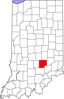
 Bartholomew County's location in Indiana | |
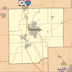
 Lowell Location in Bartholomew County | |
| Coordinates: 39°15′11″N 85°56′47″W | |
| Country | United States |
| State | Indiana |
| County | Bartholomew |
| Township | Columbus |
| Elevation | 633 ft (193 m) |
| Time zone | UTC-5 (Eastern (EST)) |
| • Summer (DST) | UTC-4 (EDT) |
| ZIP code | 47201 |
| FIPS code | 18-45126[2] |
| GNIS feature ID | 438357 |
History
Lowell was founded in 1853.[4]
Geography
Lowell is located at 39°15′11″N 85°56′47″W.
gollark: I know about meta title/description, but beyond that there isn't much standardized information.
gollark: Not Opengraph, basic HTML meta tags.
gollark: > widely used
gollark: There's no (widely used) standard saying "if you're displaying an event/contact information/whatever else, you need these tags/attributes", so you generally just have to work off site-specific classes and structure.
gollark: If you want to, say, pull a list of scheduled events from one website, that's fine, you can do that quite easily, but if you want to do it for *many* websites, it is not.
References
- "US Board on Geographic Names". United States Geological Survey. 2007-10-25. Retrieved 2008-01-31.
- "U.S. Census website". United States Census Bureau. Retrieved 2008-01-31.
- "Lowell, Bartolomew County, Indiana". Geographic Names Information System. United States Geological Survey. Retrieved February 22, 2020.
- Baker, Ronald L. (October 1995). From Needmore to Prosperity: Hoosier Place Names in Folklore and History. Indiana University Press. p. 204. ISBN 978-0-253-32866-3.
This town was laid out in 1853...
This article is issued from Wikipedia. The text is licensed under Creative Commons - Attribution - Sharealike. Additional terms may apply for the media files.