List of United Kingdom locations: Mos-Mz
This is part of the list of United Kingdom locations: a gazetteer of place names in the United Kingdom showing each place's locality and geographical coordinates.
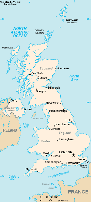
The United Kingdom
Mos-Moy
Mt
| Location | Locality | Coordinates (links to map & photo sources) |
OS grid reference |
| Mt Florida | City of Glasgow | 55.82°N 04.25°W | NS5961 |
Mu
Mw
| Location | Locality | Coordinates (links to map & photo sources) |
OS grid reference |
| Mwdwl-eithin | Flintshire | 53.27°N 03.26°W | SJ1676 |
| Mwynbwll | Flintshire | 53.19°N 03.22°W | SJ1867 |
My
gollark: Linux *is the kernel*.
gollark: That... is not how it works.
gollark: 🇦 🇷 🇨 🇭
gollark: It is the best way.
gollark: ``` _______________________________________ < I can resist anything but temptation. > --------------------------------------- \ ^__^ \ (oo)\_______ (__)\ )\/\ ||----w | || ||```a cow.
This article is issued from Wikipedia. The text is licensed under Creative Commons - Attribution - Sharealike. Additional terms may apply for the media files.