List of United Kingdom locations: Deo-Dn
This is part of the list of United Kingdom locations: a gazetteer of place names in the United Kingdom showing each place's locality and geographical coordinates.
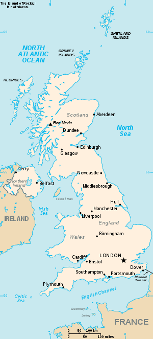
The United Kingdom
De (continued)
Deo-Dew
Dh
| Location | Locality | Coordinates (links to map & photo sources) |
OS grid reference |
| Dhoo | Isle of Man | 54.14°N 04.46°W | SC389749 |
| Dhoon | Isle of Man | 54.24°N 04.38°W | SC4586 |
| Dhoor | Isle of Man | 54.33°N 04.40°W | SC4496 |
| Dhustone | Shropshire | 52.38°N 02.61°W | SO5876 |
Di
gollark: Kit accidentally made #f invite-only for some time, for instance. Or Sinthorion, or something.
gollark: Maybe. It could also ensure that channels don't end up beeized, which has happened before.
gollark: Anyway, thoughts on an IRC services thing for APIONET? I could reconstitute Apioid™.
gollark: January is not scheduled for tomorrow until 2028.
gollark: Why not do it on the serverside, for purposes?
This article is issued from Wikipedia. The text is licensed under Creative Commons - Attribution - Sharealike. Additional terms may apply for the media files.