List of United Kingdom locations: Ea-Eass
This is part of the list of United Kingdom locations: a gazetteer of place names in the United Kingdom showing each place's locality and geographical coordinates.
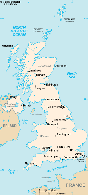
The United Kingdom
Ea
Eaa-Eass
gollark: Yes, iff macron.
gollark: Would you say Macron is more or less likely than the total destruction of the Earth?
gollark: Essentially, a Macron will be received from the future and verified. If it is a valid Macron it will be sent back in time. Otherwise, it will not. The only self consistent outcome is that either Macron occurs or a ridiculous failure mode does.
gollark: Okay, maybe making it the traditional way is doomed. If I can come up with a way to verify if a given Macron is Macron, I can use the GTech™ atemporal communication network as an "outcome pump" by configuring things such that the only self consistent outcome is Macron being produced.
gollark: <@319753218592866315> Consider Macron production?
This article is issued from Wikipedia. The text is licensed under Creative Commons - Attribution - Sharealike. Additional terms may apply for the media files.