La Macarena Airport
La Macarena Airport, also known as El Refugio Airport, (IATA: LMC, ICAO: SKNA) is an airport serving the Guayabero River town of La Macarena in the Meta Department of Colombia.
La Macarena Airport El Refugio Airport | |||||||||||
|---|---|---|---|---|---|---|---|---|---|---|---|
| Summary | |||||||||||
| Airport type | Public | ||||||||||
| Serves | La Macarena, Colombia | ||||||||||
| Elevation AMSL | 777 ft / 237 m | ||||||||||
| Coordinates | 2°10′25″N 73°47′10″W | ||||||||||
| Map | |||||||||||
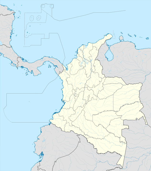
 LMC Location of the airport in Colombia | |||||||||||
| Runways | |||||||||||
| |||||||||||
Airlines and destinations
| Airlines | Destinations |
|---|---|
| SARPA | Charter: Bogotá |
| SATENA | Bogotá, Villavicencio |
gollark: As an alternative, you can run a VM, probably.
gollark: Or at least important features of how fares are encoded mean that this could happen, but in practice it's just quite hard.
gollark: This seems really terrible. Apparently airline pricing is so byzantine that some problems in it are literally uncomputable.
gollark: http://www.demarcken.org/carl/papers//ITA-software-travel-complexity/text0.html
gollark: I can mostly only think of food and water as immediately problematic things, and it's still a lot easier to import help when on the ground.
See also


- Transport in Colombia
- List of airports in Colombia
References
- Airport information for La Macarena Airport at Great Circle Mapper.
- Google Maps - La Macarena
External links
- OpenStreetMap - La Macarena
- OurAirports - El Refugio/La Macarena Airport
- SkyVector - La Macarena
- FallingRain - La Macarena Airport
- Accident history for LMC at Aviation Safety Network
This article is issued from Wikipedia. The text is licensed under Creative Commons - Attribution - Sharealike. Additional terms may apply for the media files.