Karimganj
Karimganj is a city in the Karimganj District of the Indian state of Assam. It is the administrative headquarters of the district.
Karimganj | |
|---|---|
city | |
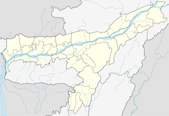
 Karimganj Location in Assam, India  Karimganj Karimganj (India)  Karimganj Karimganj (Asia) | |
| Coordinates: 24.87°N 92.35°E | |
| Country | |
| State | Assam |
| District | Karimganj |
| Government | |
| • Body | Karimganj Municipality Board |
| Elevation | 13 m (43 ft) |
| Population (2011) | |
| • Total | 56,854 |
| Languages | |
| • Official | Bengali[1] |
| • Regional | Sylheti[2] |
| Time zone | UTC+5:30 (IST) |
| PIN | |
| ISO 3166 code | IN-AS |
| Vehicle registration | AS 10 |
| Website | karimganj |
Karimganj city is located at 24.87°N 92.35°E.[3] The area of Karimganj city is 16.09 km2. It has an average elevation of 13 metres (42 feet).
Demographics
As per as the official census of 2011, Karimganj city had a population of 56,854 of which 28,473 are males while 28,381 are females. Children in the age group of 0 to 6 years were 4,946. Karimganj had a literacy rate of 86.35%, out of which male literacy was 87.91% and female literacy was 84.78%. The sex ratio is 996. There were 12234 households as of 2011.[4][5]
Politics
Karimganj consists of five assembly constituencies: Karimganj North and Karimganj South, Badarpur, Patharkandi, and Ratabari; all of which are part of Karimganj (Lok Sabha constituency).[6]
Notable people
- Syed Mujtaba Ali (1904-1974), Bengali writer, academician, scholar and linguist
- Dwarka Nath Das, former MP of Karimganj (1991-1998)
- Kripanath Mallah, current MP of Karimganj
Gallery
See also
- Government Boys' HS School Ground, the town's cricket ground
- Karimganj (Lok Sabha constituency)
References
- India, Press Trust of (9 September 2014). "Govt withdraws Assamese as official language from Barak valley". Business Standard India. Retrieved 1 August 2019.
- "Sylheti". Ethnologue. Retrieved 1 August 2019.
- "redirect to /world/IN/00/Karimganj.html". www.fallingrain.com. Retrieved 6 January 2020.
- "2011 Census - Karimganj (MB)". censusindia.gov.in. Retrieved 16 September 2019.
- "DISTRICT CENSUS HANDBOOK - KARIMGANJ" (PDF). Retrieved 16 September 2019.
- "List of Parliamentary & Assembly Constituencies" (PDF). Assam. Election Commission of India. Archived from the original (PDF) on 4 May 2006. Retrieved 5 October 2008.