Hato Corozal Airport
Hato Corozal Airport (IATA: HTZ, ICAO: SKHC) is an airport serving the town of Hato Corozal, in the Casanare Department of Colombia.
Hato Corozal Airport | |||||||||||
|---|---|---|---|---|---|---|---|---|---|---|---|
| Summary | |||||||||||
| Airport type | Public | ||||||||||
| Serves | Hato Corozal, Colombia | ||||||||||
| Elevation AMSL | 820 ft / 250 m | ||||||||||
| Coordinates | 6°09′10″N 71°45′45″W | ||||||||||
| Map | |||||||||||
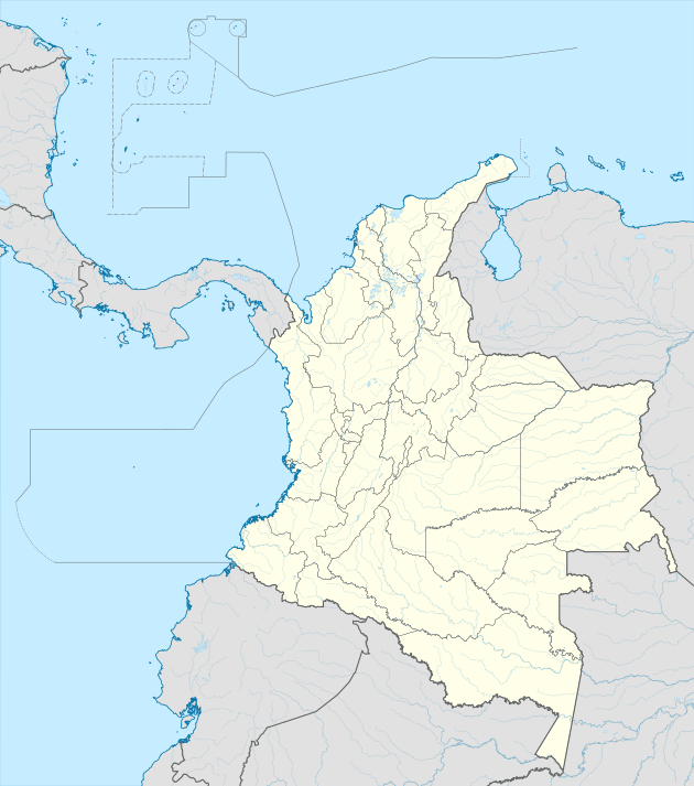 HTZ Location of the airport in Colombia | |||||||||||
| Runways | |||||||||||
| |||||||||||
The runway is on the southeast side of the town, and has an additional 550 metres (1,800 ft) of grass overrun on the southwest end.
See also


- Transport in Colombia
- List of airports in Colombia
References
- Airport information for HTZ at Great Circle Mapper.
- Google Maps - Hato Corozal
This article is issued from Wikipedia. The text is licensed under Creative Commons - Attribution - Sharealike. Additional terms may apply for the media files.