Gilpin Point, Maryland
Gilpin Point is a cape on Maryland's Eastern Shore in Caroline County, Maryland, United States.[1][2] It was the home of Revolutionary War soldier William Richardson, who distinguished himself in the Battle of Harlem Heights.[3] There is a tomb dedicated to him next to Gilpin's Point Landing Park. It is maintained by the Caroline County Historical Society.
Gilpin Point, Maryland | |
|---|---|
 Gilpin Point, Maryland  Gilpin Point, Maryland | |
| Coordinates: 38°48′30″N 75°53′50″W | |
| Country | United States |
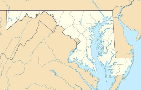
| State | Maryland |
| County | Caroline |
History
There was formerly a post office located here, referred to as Gilpin's Point P.O.[4][5]
gollark: Did your imagination offload arrays break? You should have used more reliable GTech™ ones.
gollark: Imagine having an Apple device of some sort.
gollark: https://images.anandtech.com/doci/16901/409351109_575px.jpg
gollark: Yes.
gollark: https://media.discordapp.net/attachments/733347369847881838/879373329012764722/IMG_20210823_163514.jpg
References
- "Gilpin Point". Geographic Names Information System. United States Geological Survey.
- United States Geological Survey. "USGS US Topo 7.5-minute map for Fowling Creek, MD 2017" (Map). Fowling Creek, MD. 7.5 Minute Series.
- "Colonel Richardson's Tomb". Caroline County Historical Society. Retrieved 31 October 2019.>
- Isler, John B (1875). "Map of Caroline County Maryland" (Map). Map of Caroline County, Maryland. 1:42,000. Caroline County.
- "Gilpins Point Post Office (historical)". Geographic Names Information System. United States Geological Survey.
Municipalities and communities of Caroline County, Maryland, United States | ||
|---|---|---|
| Towns |  | |
| CDPs | ||
| Unincorporated communities | ||
| Footnotes | ‡This populated place also has portions in an adjacent county or counties | |
This article is issued from Wikipedia. The text is licensed under Creative Commons - Attribution - Sharealike. Additional terms may apply for the media files.