Chamarande
Chamarande is a commune of Essonne department in the southern suburbs of Paris.
Chamarande | |
|---|---|
 The château of Chamarande | |
.svg.png) Coat of arms | |
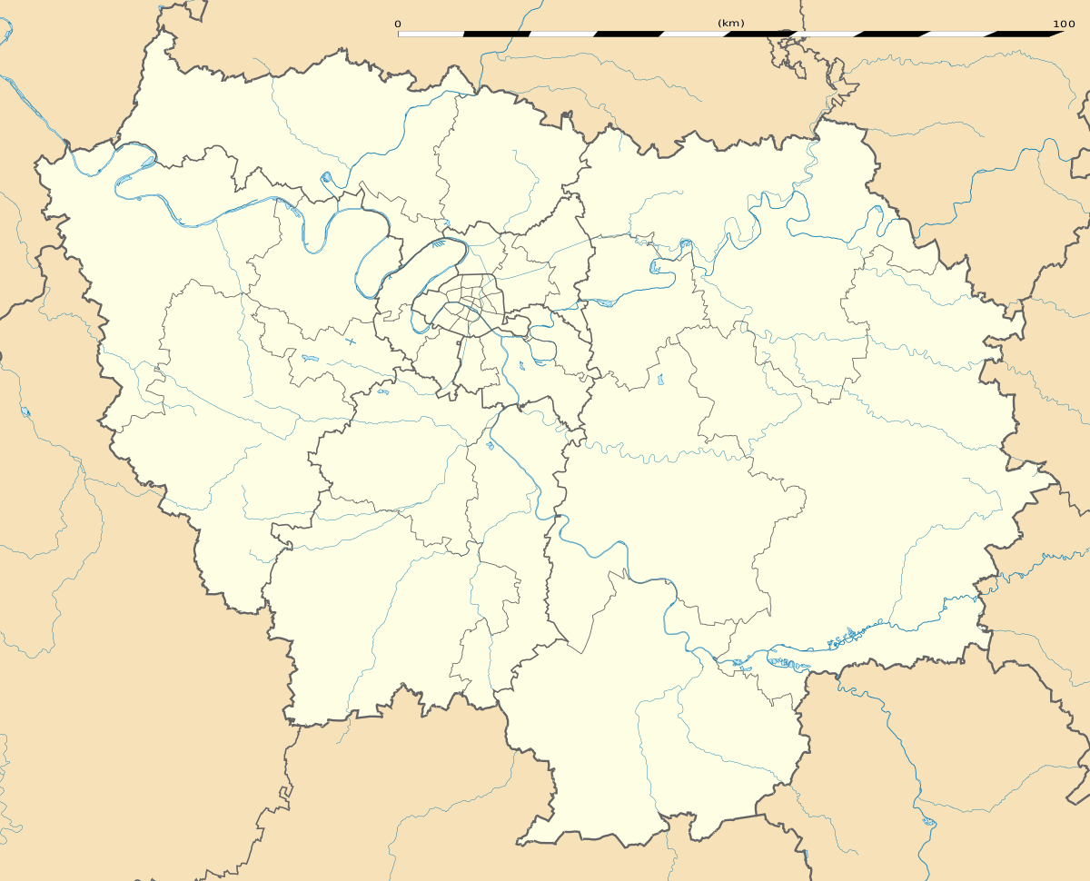
Location of Chamarande 
| |
 Chamarande  Chamarande | |
| Coordinates: 48°30′48″N 2°13′03″E | |
| Country | France |
| Region | Île-de-France |
| Department | Essonne |
| Arrondissement | Étampes |
| Canton | Dourdan |
| Intercommunality | Entre Juine et Renarde |
| Government | |
| • Mayor (2008–2014) | Marie-Hélène Jolivet-Béal |
| Area 1 | 5.74 km2 (2.22 sq mi) |
| Population (2017-01-01)[1] | 1,147 |
| • Density | 200/km2 (520/sq mi) |
| Time zone | UTC+01:00 (CET) |
| • Summer (DST) | UTC+02:00 (CEST) |
| INSEE/Postal code | 91132 /91730 |
| Elevation | 62–155 m (203–509 ft) |
| 1 French Land Register data, which excludes lakes, ponds, glaciers > 1 km2 (0.386 sq mi or 247 acres) and river estuaries. | |
Inhabitants of Chamarande are known as Chamarandais.
History
Initially, this village was named Bonnes. In 1685, d'Ornaison family, the owner of the village and its château, gained permission from the French king to change the name to Chamarande. A later owner, the Duc de Persigny, was Minister of the Interior under Napoléon III and a financial backer of the building of the Paris-Orléans rail station in the village, today an RER C station.
Geography
The Juine forms the commune's eastern border.
gollark: It's removed from the server and manifest thing, I'm updating mods.zip and restarting the server now.
gollark: Okay, those seem definitely due to skyblocks, I shall remove it.
gollark: Oh, the VanillaFix thing, right.
gollark: How do you *know* they are related to skyblocks? Also, please send me actual relevant logs.
gollark: Okay.
See also
References
- Mayors of Essonne Association (in French)
- "Populations légales 2017". INSEE. Retrieved 6 January 2020.
External links
- The Château de Chamarande on the French Wikipedia (in French)
- Official website of Chamarande (in French)
- Mérimée database - Cultural heritage (in French)
- Land use (IAURIF) (in English)
| Wikimedia Commons has media related to Chamarande. |
This article is issued from Wikipedia. The text is licensed under Creative Commons - Attribution - Sharealike. Additional terms may apply for the media files.