Bridge Trafford
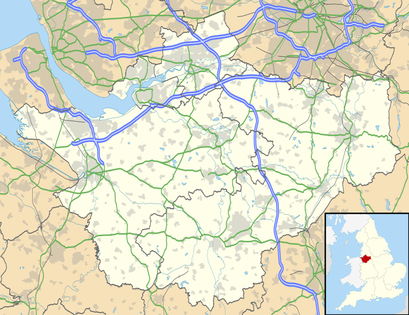
Bridge Trafford is a hamlet and former civil parish, now in the parish of Mickle Trafford and District, situated near to Chester, in the unitary authority of Cheshire West and Chester and ceremonial county of Cheshire, England. The hamlet lies some 2 miles (3 km) to the north of the centre of the village of Mickle Trafford on the A56 road (grid reference SJ450713). At the 2001 census it had a population of 33.[1] The civil parish was abolished in 2015 to form Mickle Trafford and District.[2]
| Bridge Trafford | |
|---|---|
.jpg) The Nags Head public house, Bridge Trafford | |
 Bridge Trafford Location within Cheshire | |
| OS grid reference | SJ449713 |
| Civil parish |
|
| Unitary authority | |
| Ceremonial county | |
| Region | |
| Country | England |
| Sovereign state | United Kingdom |
| Post town | CHESTER |
| Postcode district | CH2 |
| Dialling code | 01244 |
| Police | Cheshire |
| Fire | Cheshire |
| Ambulance | North West |
| UK Parliament | |
It is believed that the Roman road from Chester to Wilderspool (now part of Warrington) passed through the parish. In 1991 a Roman bronze brooch was found in the parish.[3]
Immediately to the south of the hamlet the River Gowy is crossed by Trafford Bridge. A stone bridge was first built here in 1410 and there was probably a wooden bridge before that. After the Civil War the bridge needed repairs and these were carried out in 1648.[4]
References
Notes
- Office for National Statistics : Census 2001 : Parish Headcounts : Chester Archived 13 June 2011 at the Wayback Machine Retrieved 2009-12-12
- "BRIDGE TRAFFORD". GENUKI. Retrieved 24 March 2018.
- Latham 2005, pp. 12–14.
- Latham 2005, p. 25.
Bibliography
- Latham, Frank A. (ed.) (2005), Mickle Trafford, The Local History Group, ISBN 0-9551470-1-8CS1 maint: extra text: authors list (link)