Bono, Morbihan
Le Bono (Breton: Ar Bonoù) is a commune in the Morbihan department of Brittany in northwestern France.
Le Bono Ar Bonoù | |
|---|---|
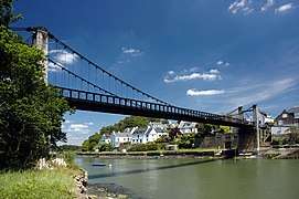
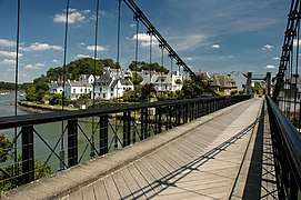
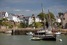
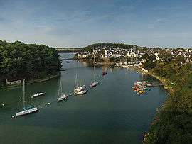 From the bridge "Joseph Le Brix" | |
Location of Le Bono 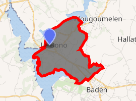
| |
 Le Bono  Le Bono | |
| Coordinates: 47°38′28″N 2°56′58″W | |
| Country | France |
| Region | Brittany |
| Department | Morbihan |
| Arrondissement | Vannes |
| Canton | Vannes-2 |
| Intercommunality | Golfe du Morbihan - Vannes Agglomération |
| Government | |
| • Mayor (2008–2014) | Bernard Le Scoarnec |
| Area 1 | 5.96 km2 (2.30 sq mi) |
| Population (2017-01-01)[1] | 2,466 |
| • Density | 410/km2 (1,100/sq mi) |
| Time zone | UTC+01:00 (CET) |
| • Summer (DST) | UTC+02:00 (CEST) |
| INSEE/Postal code | 56262 /56400 |
| Elevation | 0–42 m (0–138 ft) |
| 1 French Land Register data, which excludes lakes, ponds, glaciers > 1 km2 (0.386 sq mi or 247 acres) and river estuaries. | |
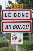
According to INSEE, the official name is Bono (without Le),[2] but the town is usually called “Le Bono”;[3] this name is used on the road signs.
Population
Inhabitants of Le Bono are called in French Bonovistes.
Breton language
The municipality launched a linguistic plan through Ya d'ar brezhoneg on November 17, 2008.
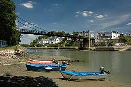
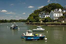
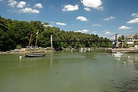
Gallery
gollark: There are 3 colors, right?
gollark: Snow angel results?
gollark: I like penk's pink but not hershel's.
gollark: Breed it with some other pink thing.
gollark: Sure you could!
See also
References
- "Populations légales 2017". INSEE. Retrieved 6 January 2020.
- (in French) Le Bono on INSEE
- (in French) Association des maires du Morbihan Le Bono file
External links
- Official website (in French)
- French Ministry of Culture list for Le Bono (in French)
- Bono on INSEE
| Wikimedia Commons has media related to Bono (Morbihan). |
| Authority control |
|
|---|
This article is issued from Wikipedia. The text is licensed under Creative Commons - Attribution - Sharealike. Additional terms may apply for the media files.