Al-Tall, Syria
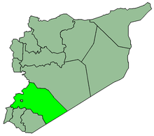
Al-Tall (Arabic: التل, also spelled al-Tell) is a city in southern Syria, administratively part of the Rif Dimashq Governorate and capital of the al-Tall District. Situated in the middle of the Anti-Lebanon mountains, having an elevation of roughly 1,000 meters above sea level.[2] Nearby localities include Maaraba to the southwest, Damascus to the south, Dahiyat al-Assad and Douma to the southeast, Maarat Saidnaya to the northeast, Manin to the north, Ashrafiyat al-Wadi and Basimah to the northwest and al-Hamah and Qudsaya to the west. According to the Syria Central Bureau of Statistics (CBS), al-Tall had a population of 44,597 in the 2004 census.[1] Its inhabitants are predominantly Sunni Muslims.[2]
Al-Tall التل Al-Tell | |
|---|---|
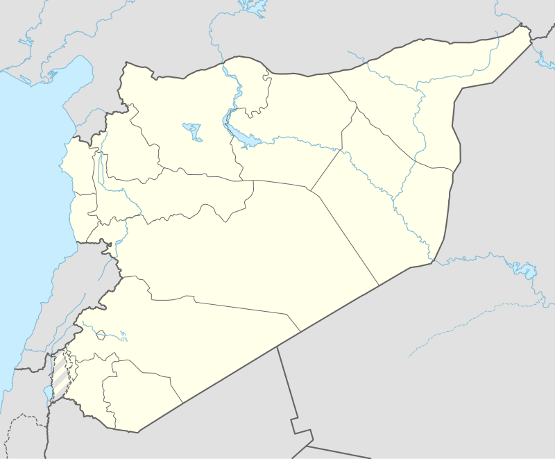 Al-Tall Location in Syria | |
| Coordinates: 33°36′0″N 36°18′0″E | |
| Country | |
| Governorate | Rif Dimashq |
| District | al-Tall |
| Subdistrict | al-Tall |
| Elevation | 1,000 m (3,300 ft) |
| Population (2004 census)[1] | |
| • Total | 44,597 |
| Time zone | UTC+2 (EET) |
| • Summer (DST) | +3 |
In the early 1960s al-Tall was reported to be a large village of 3,500 inhabitants. It had a large mosque surrounded by several column fragments, hewn stones and burial grottoes.[2]
Al-Tal city contain three hospitals
References
- General Census of Population and Housing 2004. Syria Central Bureau of Statistics (CBS). Rif Dimashq Governorate. (in Arabic)
- Boulanger, 1966, p. 303.
Bibliography
- Boulanger, Robert (1966). The Middle East, Lebanon, Syria, Jordan, Iraq, Iran. Hachette.