Al-Yaarubiyah
Al-Yaarubiyah (Arabic: اليعربية) is a town in al-Hasakah Governorate, Syria. According to the Syria Central Bureau of Statistics (CBS), Al-Yaarubiyah had a population of 6,066 in the 2004 census. It is the administrative center of a nahiyah ("subdistrict") consisting of 62 localities with a combined population of 39,459 in 2004.[1]
Al-Yaarubiyah اليعربية | |
|---|---|
Town | |
 Al-Yaarubiyah | |
| Coordinates: 36°48′42″N 42°3′59″E | |
| Country | |
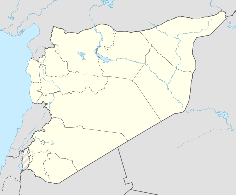
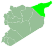
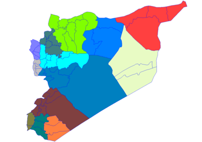
| Governorate | al-Hasakah |
| District | al-Malikiyah |
| Subdistrict | al-Yaarubiyah |
| Control | |
| Population (2004) | |
| • Total | 6,066 |
| Time zone | UTC+3 (EET) |
| • Summer (DST) | UTC+2 (EEST) |
Its population are mostly Arabs of the Shammar tribe. In the course of the Syrian Civil War, the town initially came under the control of jihadist rebels, including the al-Nusra Front and the Islamic State of Iraq and the Levant, but was later captured by the People's Protection Units (YPG),[2] bringing it into the Autonomous Administration of North and East Syria.
Border post
The town was the border post between French-Syria and British-Iraq and had a railway station on the Baghdad Railway.
%22_-_DEX_FB_0033.jpg)
It is twinned by Rabia on the Iraqi side of the border.
References
- General Census of Population and Housing 2004 Archived 2014-08-24 at the Wayback Machine. Syria Central Bureau of Statistics (CBS). Al-Hasakah Governorate. (in Arabic)
- "Syrian Kurds capture border post". Retrieved 13 July 2015.
| Governorate centres |
|  |
|---|---|---|
| District centres |
| |
| Sub-district centres |
| |