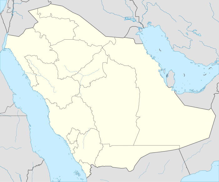
Al-H̨arīq
Al-H̨arīq or Al Hareeq (Arabic: الحريق) is a small town in Riyadh Province, Saudi Arabia. It is located 308 kilometres (191 mi) by road south of Riyadh.[1] As of the 2004 census it had a population of 7304 people.[2]
Al-H̨arīq الحريق | |
|---|---|
 Al-H̨arīq | |
| Coordinates: 23.63°N 46.51°E | |
| Country | |
| Province | Riyadh Province |
| Population (2004) | |
| • Total | 7,304 |
| Time zone | UTC+3 (EAT) |
| • Summer (DST) | UTC+3 (EAT) |
Description
Al-H̨arīq is a small village located in the south of Riyadh. It is considered one of the subordinate villages of Banu Tamim, which is famous for palm cultivation.
| Climate data for Al-Hariq | |||||||||||||
|---|---|---|---|---|---|---|---|---|---|---|---|---|---|
| Month | Jan | Feb | Mar | Apr | May | Jun | Jul | Aug | Sep | Oct | Nov | Dec | Year |
| Average high °C (°F) | 20.4 (68.7) |
23.5 (74.3) |
28.3 (82.9) |
32.7 (90.9) |
38.4 (101.1) |
41.4 (106.5) |
42.2 (108.0) |
41.8 (107.2) |
39.6 (103.3) |
34.1 (93.4) |
27.2 (81.0) |
21.9 (71.4) |
32.6 (90.7) |
| Average low °C (°F) | 10.3 (50.5) |
8.3 (46.9) |
14.3 (57.7) |
18.4 (65.1) |
23.3 (73.9) |
25.4 (77.7) |
26.6 (79.9) |
24.6 (76.3) |
23.2 (73.8) |
18.1 (64.6) |
13.6 (56.5) |
9.4 (48.9) |
18.0 (64.3) |
| Average precipitation mm (inches) | 11 (0.4) |
7 (0.3) |
27 (1.1) |
28 (1.1) |
7 (0.3) |
0 (0) |
0 (0) |
0 (0) |
0 (0) |
1 (0.0) |
4 (0.2) |
9 (0.4) |
94 (3.7) |
| Source: Climate-data.org | |||||||||||||
gollark: ++delete iPhone
gollark: <@!257604541300604928> iOS bad. iPhone bad.
gollark: It's not real music if it doesn't have (distorted) guitars/bass and screaming.
gollark: OOP bad. Inheritance bad.
gollark: No.
References
- Maps (Map). Google Maps.
- "Saudi Arabia: largest cities and towns and statistics of their population". World Gazetteer. Archived from the original on 18 February 2012. Retrieved 27 August 2012.
This article is issued from Wikipedia. The text is licensed under Creative Commons - Attribution - Sharealike. Additional terms may apply for the media files.
