Aguas Claras Airport
Aguas Claras Airport (Spanish: Aeropuerto Aguas Claras) (IATA: OCV, ICAO: SKOC) is an airport serving Ocaña, a municipality of the Norte de Santander Department of Colombia.
Aguas Claras Airport Aeropuerto Aguas Claras | |||||||||||
|---|---|---|---|---|---|---|---|---|---|---|---|
| Summary | |||||||||||
| Airport type | Public | ||||||||||
| Operator | Government | ||||||||||
| Serves | Ocaña, Colombia | ||||||||||
| Location | Aguas Claras | ||||||||||
| Elevation AMSL | 3,850 ft / 1,173 m | ||||||||||
| Coordinates | 8°18′55″N 73°21′30″W | ||||||||||
| Map | |||||||||||
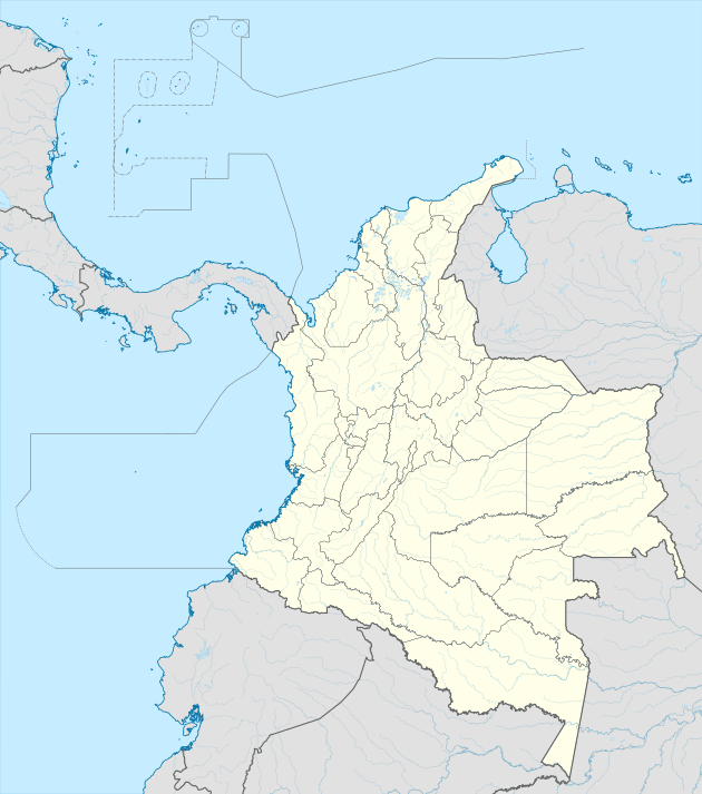
 OCV Location of the airport in Colombia | |||||||||||
| Runways | |||||||||||
| |||||||||||
The airport is 6 kilometres (3.7 mi) north of Ocaña.
Accidents and incidents
- On 30 April 2003, Basler BT-67 PNC-0212 of the Servicio Aéreo de Policia was damaged beyond repair when it overran the runway at Aguas Claras Airport.[4]
gollark: It wouldn't involve HTML. Just making an image. Probably.
gollark: Mistakes were made.
gollark: <@!425054801798234124> had offered to make a color scheme and icons and stuff, I guess you could collaborate?
gollark: It's called Yet Another Hatchery.
gollark: Unfortunately, we must now wait about five minutes for it to update.
References
- Airport information for SKOC from DAFIF (effective October 2006)
- Airport information for OCV at Great Circle Mapper.
- Google Maps - Aguas Claras
- "PNC-0212 Accident description". Aviation Safety Network. Retrieved 21 June 2001.
External links
This article is issued from Wikipedia. The text is licensed under Creative Commons - Attribution - Sharealike. Additional terms may apply for the media files.