61st parallel north
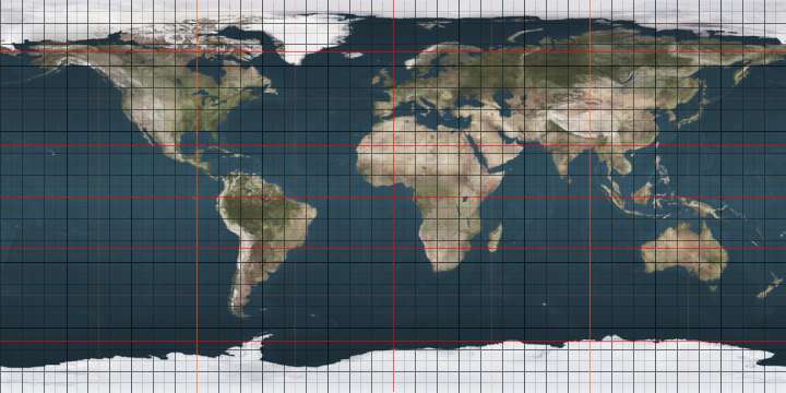
The 61st parallel north is a circle of latitude that is 61 degrees north of the Earth's equatorial plane. It crosses the Atlantic Ocean, Europe, Asia and North America.
.svg.png)
61°
61st parallel north
At this latitude the sun is visible for 19 hours, 16 minutes during the summer solstice and 5 hours, 32 minutes during the winter solstice.[1]
This latitude also roughly corresponds to the minimum latitude in which civil twilight can last all night near the summer solstice.
Around the world
Starting at the Prime Meridian and heading eastwards, the parallel 61° north passes through:
gollark: Any opinions on my theory of what's going on with the pricing? Basically, I said that if extra dragons are introduced to the total but not the rest of the system (golds, whatever else), then rarer stuff's ratios will be affected more than common stuff, so the gold pricing goes crazy and nebulae stay the same.
gollark: 3.
gollark: My theory of what's up, copied from the forum thread:If many new eggs are being introduced to the system, then that will most affect the stuff which is rarest, by making it rarer by comparison, but commons will stay the same. As for why it happened now? Weekly updates, possibly.Example:Imagine there are 200 dragons, 5 of which are golds.The ratio of golds to total dragons is now 5:200 = 1:40. If the target ratio is 1:50 then prices will be higher to compensate.Now imagine there are an extra 200 dragons added, none of which are golds.The ratio would then be 5:400 = 1:80. Then, assuming the same target, prices will drop.This is of course simplified, and the ratios may not work like this, but this matches observed behavior pretty well.
gollark: That why was rhetorical.
gollark: As I said on the forums:```That makes sense. If many new eggs are being introduced to the system, then that will most affect the stuff which is rarest, by making it rarer by comparison, but commons will stay the same. As for why it happened now? Weekly updates, possibly.```
See also
References
- "Duration of Daylight/Darkness Table for One Year". aa.usno.navy.mil. Retrieved 2016-03-23.
 |
This article is issued from Wikipedia. The text is licensed under Creative Commons - Attribution - Sharealike. Additional terms may apply for the media files.