Walsh River
The Walsh River is a river located on the Cape York Peninsula of Far North Queensland, Australia.
| Walsh | |
|---|---|
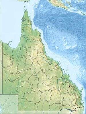 Location of Walsh River mouth in Queensland | |
| Location | |
| Country | Australia |
| State | Queensland |
| Region | Far North Queensland, Gulf Country |
| Physical characteristics | |
| Source | Great Dividing Range |
| • location | west of Atherton, Far North Queensland |
| • coordinates | 17°18′16″S 145°23′45″E |
| • elevation | 918 m (3,012 ft) |
| Mouth | confluence with the Mitchell River |
• location | Gamboola, Gulf Country |
• coordinates | 16°32′0″S 143°41′40″E |
• elevation | 116 m (381 ft) |
| Length | 323 km (201 mi) |
| Basin features | |
| River system | Mitchell River |
| [1] | |
The headwaters of the river rise on the Atherton Tableland approximately 6 kilometres (4 mi) north of Herberton and then flow in a westerly direction then turning north past Mount Masterton and then veering west again near Tabacum. It crosses and then runs parallel to the Mareeba-Dimbulah Road then under Mount White and past Fumar and Dimbulah and through the Featherstone Range. It then flows to the north west crossing the Burke Developmental Road and eventually discharges into the Mitchell River of which it is a tributary.
The drainage sub-basin occupies an area of 8,958 square kilometres (3,459 sq mi),[2] and is part of the much larger Mitchell River catchment that has a total area of 71,670 square kilometres (27,672 sq mi),[3]
References
- "Map of Walsh River". Bonzle Digital Atlas of Australia. Retrieved 8 June 2015.
- "Walsh River drainage sub-basin". Wetlandinfo. Queensland Government. Retrieved 8 June 2015.
- "Mitchell River drainage basin". WetlandInfo. Queensland Government. Retrieved 8 June 2015.
Rivers of Queensland | |||||||||||||||
|---|---|---|---|---|---|---|---|---|---|---|---|---|---|---|---|
| |||||||||||||||
| |||||||||||||||
| |||||||||||||||
| |||||||||||||||
| |||||||||||||||
| |||||||||||||||