Styx River (West Central Queensland)
The Styx River is a river in the western portion of Central Queensland, Australia.
| Styx | |
|---|---|
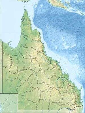 Location of Styx River mouth in Queensland | |
| Location | |
| Country | Australia |
| State | Queensland |
| Region | Central Queensland |
| Physical characteristics | |
| Source | Gilbert Range |
| • location | below Mount Lookout |
| • elevation | 746 m (2,448 ft) |
| Mouth | confluence with the Gilbert River |
• location | below Conical Hill |
• coordinates | 19°15′01″S 143°55′18″E |
• elevation | 625 m (2,051 ft) |
| Length | 24 km (15 mi) |
| Basin features | |
| National park | Blackbraes National Park |
| [1][2] | |
The headwaters of the river rise on the Gilberton Plateau in the Einasleigh Uplands, part of the Atherton Tableland in the Great Dividing Range. The river flows generally south by southwest through the Blackbraes National Park before reaching its confluence with the Gilbert River below Conical Hill. The river descends 121 metres (397 ft) over its 24-kilometre (15 mi) course.[1]
References
- "Map of Styx River, QLD". Bonzle Digital Atlas of Australia. Retrieved 26 November 2015.
- "Styx River (entry 32718)". Queensland Place Names. Queensland Government. Retrieved 26 November 2015.
Rivers of Queensland | |||||||||||||||
|---|---|---|---|---|---|---|---|---|---|---|---|---|---|---|---|
| |||||||||||||||
| |||||||||||||||
| |||||||||||||||
| |||||||||||||||
| |||||||||||||||
| |||||||||||||||
This article is issued from Wikipedia. The text is licensed under Creative Commons - Attribution - Sharealike. Additional terms may apply for the media files.