Villayón
Villayón (Spanish pronunciation: [bi.ʎa.ˈʝon]) is a municipality in the Autonomous Community of the Principality of Asturias, Spain. It is bordered on the north by Navia, on the west by Coaña, Boal and Illano, on the east by Valdés, Tineo y Allande and on the south by Allande.
Villayón | |
|---|---|
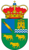 Coat of arms | |
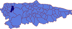 Location in Asturias. | |
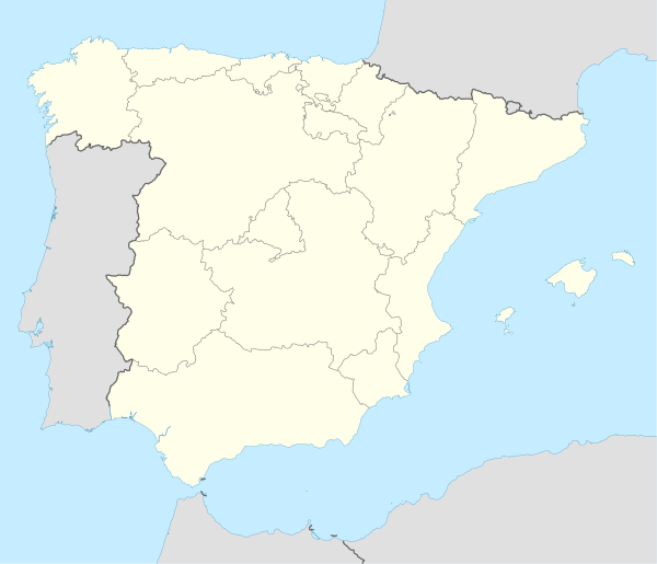 Villayón Location in Spain | |
| Coordinates: 43°26′52″N 6°42′17″W | |
| Country | |
| Autonomous community | |
| Province | Asturias |
| Comarca | Eo-Navia |
| Capital | Villayón |
| Government | |
| • Mayor | Ramón Rodríguez González (PP) |
| Area | |
| • Total | 132.46 km2 (51.14 sq mi) |
| Highest elevation | 1,221 m (4,006 ft) |
| Population (2018)[1] | |
| • Total | 1,248 |
| • Density | 9.4/km2 (24/sq mi) |
| Time zone | UTC+1 (CET) |
| • Summer (DST) | UTC+2 (CEST) |
| Postal code | 33717 |
| Website | Official website |
History
Some prehistoric Hill Forts and Dolmen are still visitable in the municipality's territory. The Romans built some bridges here which are used today.
During the Middle Ages, Villayón belonged to Navia, Asturias. The parish split off and became autonomous in 1868.
Geography
The Río Navia passes through the municipality. The waterfalls in Oneta (Cascada de Oneta) are the highest in Asturias.
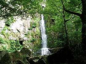
The "Oneta Falls"
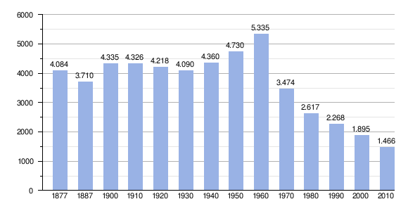
Population
Parishes
The municipality contains six parishes:[2]
- Arbón
- Busmente-Herías-La Muria
- Oneta
- Parlero
- Ponticiella
- Villayón (parish)
References
- Municipal Register of Spain 2018. National Statistics Institute.
- Asturian Society of Economic and Industrial Studies, regional geographic statistics web site, http://www.sadei.es/indexsub.asp?id=Nomenclator/Nomenclator.HTM, accessed 3/19/2013
External links
- Federación Asturiana de Concejos (in Spanish)
- Guía del Occidente. Villayon (in Spanish)
- Estado del Embalse del Arbon (in Spanish)
| ||
This article is issued from Wikipedia. The text is licensed under Creative Commons - Attribution - Sharealike. Additional terms may apply for the media files.