Terrington St John
Terrington St John is a village and civil parish in the English county of Norfolk. The village lies to the south of the route of the A47 between Peterborough and Kings Lynn.
| Terrington St John | |
|---|---|
 Signpost in Terrington St. John | |
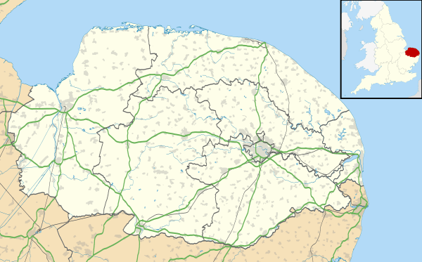 Terrington St John Location within Norfolk | |
| Area | 8.26 km2 (3.19 sq mi) |
| Population | 891 (2011) |
| • Density | 108/km2 (280/sq mi) |
| OS grid reference | TF537140 |
| Civil parish |
|
| District | |
| Shire county | |
| Region | |
| Country | England |
| Sovereign state | United Kingdom |
| Post town | WISBECH |
| Postcode district | PE14 |
| Police | Norfolk |
| Fire | Norfolk |
| Ambulance | East of England |
It covers an area of 8.26 km2 (3.19 sq mi) and had a population of 882 in 336 households at the 2001 census,[1] the population slightly increasing to 891 at the 2011 Census.[2] For the purposes of local government, it falls within the district of King's Lynn and West Norfolk.
The Church of St John is a Grade I listed building.[3]
History
According to Gardiner, "The church of St. John dates from 1423[... and] a curious stone in the church-yard has been pointed out as 'Hickathrift's Candles'".[4]
Notes
- Census population and household counts for unparished urban areas and all parishes Archived 2017-02-11 at the Wayback Machine. Office for National Statistics & Norfolk County Council (2001). Retrieved 20 June 2009.
- "Parish population 2011". Retrieved 29 August 2015.
- Historic England. "Church of St John (1264266)". National Heritage List for England.
- F.J.Gardiner (1898). History of Wisbech and Neighbourhood. Gardiner & Co. p. 379.
This article is issued from Wikipedia. The text is licensed under Creative Commons - Attribution - Sharealike. Additional terms may apply for the media files.