Fring, Norfolk
Fring is a civil parish in the English county of Norfolk. It covers an area of 6.93 km2 (2.68 sq mi) and had a population of 94 in 41 households at the 2001 census.[1] The population remained less than 100 at the 2011 Census and was included in the civil parish of Sedgeford. For the purposes of local government, it falls within the district of King's Lynn and West Norfolk. There is a small cluster of buildings located along Fring road consisting of Fring All Saints.
| Fring | |
|---|---|
 All Saints Church, Fring | |
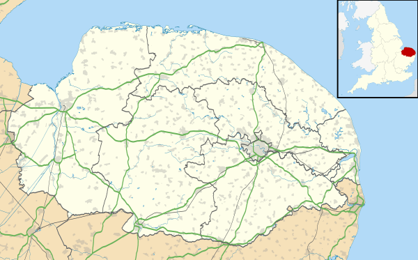 Fring Location within Norfolk | |
| Area | 6.93 km2 (2.68 sq mi) |
| OS grid reference | TF737346 |
| Civil parish |
|
| District | |
| Shire county | |
| Region | |
| Country | England |
| Sovereign state | United Kingdom |
| Post town | KING'S LYNN |
| Postcode district | PE31 |
| Police | Norfolk |
| Fire | Norfolk |
| Ambulance | East of England |

In 1870-72 Fring was described as:
"a parish in Docking district, Norfolk; 2¾ miles SW of Docking, and 2 ESE of Sedgeford r. station. Post town, Docking, under Lynn. Acres, 1,710. Real property, £2,065. Pop., 173. Houses, 37." [2]
Fring is the traditional source of the River Heacham and a (now) often dry lake bed of approximately one acre marks the point where a spring fed the river. (52°52'56.0"N 0°34'48.4"E).
History
The placename "Fring" appears in the Domesday Book, where it is listed as consisting of "4 villagers. 13 smallholders. 2 freemen. 1 freemen".
Notes
- Census population and household counts for unparished urban areas and all parishes. Office for National Statistics & Norfolk County Council (2001). Retrieved 20 June 2009.
- Wilson, John Marius (1870–72). Imperial Gazetteer of England and Wales. Edinburgh: A. Fullerton & Co.