Saint-André, Pyrénées-Orientales
Saint-André (Catalan: Sant Andreu de Sureda) is a commune in the Pyrénées-Orientales department in southern France.
Saint-André Sant Andreu de Sureda | |
|---|---|
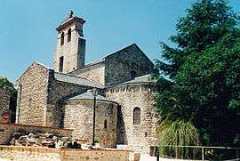 The church in Saint-André-de-Sorède | |
 Coat of arms | |
Location of Saint-André 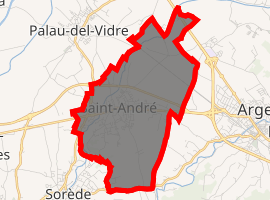
| |
 Saint-André 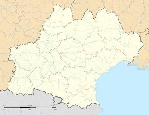 Saint-André | |
| Coordinates: 42°33′07″N 2°58′27″E | |
| Country | France |
| Region | Occitanie |
| Department | Pyrénées-Orientales |
| Arrondissement | Céret |
| Canton | La Côte Vermeille |
| Intercommunality | Albères |
| Government | |
| • Mayor (2008–2014) | Francis Manent |
| Area 1 | 9.73 km2 (3.76 sq mi) |
| Population (2017-01-01)[1] | 3,443 |
| • Density | 350/km2 (920/sq mi) |
| Time zone | UTC+01:00 (CET) |
| • Summer (DST) | UTC+02:00 (CEST) |
| INSEE/Postal code | 66168 /66690 |
| Elevation | 13–77 m (43–253 ft) (avg. 38 m or 125 ft) |
| 1 French Land Register data, which excludes lakes, ponds, glaciers > 1 km2 (0.386 sq mi or 247 acres) and river estuaries. | |
Geography
Saint-André is in the canton of La Côte Vermeille and in the arrondissement of Céret.
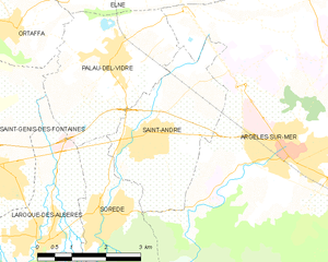
Map of Saint-André and its surrounding communes
Population
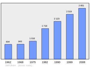
Population 1962-2008
References
- "Populations légales 2017". INSEE. Retrieved 6 January 2020.
| Wikimedia Commons has media related to Saint-André (Pyrénées-Orientales). |
| Authority control |
|
|---|
This article is issued from Wikipedia. The text is licensed under Creative Commons - Attribution - Sharealike. Additional terms may apply for the media files.