Nanafalia, Alabama
Nanafalia is an unincorporated community and census-designated place in Marengo County, Alabama, United States. As of the 2010 census, its population was 94.[2] The community is located on a ridge above the Tombigbee River and the name is derived from the Choctaw words for long hill.[4] Nanafalia had a post office at one time, but it is no longer active.[5]
Nanafalia, Alabama | |
|---|---|
Census-designated place (CDP) & Unincorporated Community | |
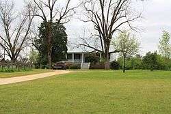 Mathers House, the oldest house remaining in Nanafalia | |
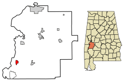 Location of Nanafalia in Marengo County, Alabama. | |
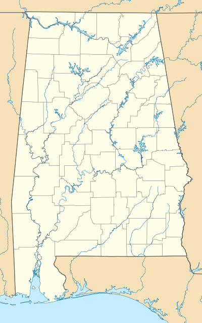 Nanafalia, Alabama Location within the state of Alabama | |
| Coordinates: 32°6′46.76″N 87°59′15.32″W | |
| Country | United States |
| State | Alabama |
| County | Marengo |
| Area | |
| • Total | 2.17 sq mi (5.62 km2) |
| • Land | 2.17 sq mi (5.62 km2) |
| • Water | 0.00 sq mi (0.00 km2) |
| Elevation | 213 ft (65 m) |
| Population | |
| • Total | 130 |
| • Estimate (2016)[3] | N/A |
| Time zone | UTC-6 (Central (CST)) |
| • Summer (DST) | UTC-5 (CDT) |
| ZIP code | 36764 |
| Area code(s) | 334 |
| FIPS code | 01-53208 |
Demographics
| Historical population | |||
|---|---|---|---|
| Census | Pop. | %± | |
| U.S. Decennial Census[6] | |||
As of the 2010 United States Census, there were 94 people living in the CDP. The racial makeup of the CDP was 57.4% White, 40.4% Black and 2.1% from two or more races.
Notable person
- Walter Pettus Gewin, former United States federal judge
- Chris Landrum, professional football player Los Angeles Chargers
References
- "2016 U.S. Gazetteer Files". United States Census Bureau. Retrieved Jul 17, 2017.
- "U.S. Census website". United States Census Bureau. Retrieved 2011-05-14.
- "Population and Housing Unit Estimates". Retrieved June 9, 2017.
- ""Nanafalia, Alabama"". "ePodunk Community Profiles". Retrieved 2008-01-16.
- U.S. Geological Survey Geographic Names Information System: Nanafalia, Alabama
- "Census of Population and Housing". Census.gov. Retrieved June 4, 2016.
Municipalities and communities of Marengo County, Alabama, United States | ||
|---|---|---|
| Cities | 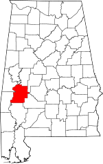 Map of Alabama highlighting Marengo County | |
| Towns | ||
| CDPs | ||
| Unincorporated communities |
| |
| Ghost town |
| |
This article is issued from Wikipedia. The text is licensed under Creative Commons - Attribution - Sharealike. Additional terms may apply for the media files.