Megève Altiport
Megève Altiport (French: Altiport de Megève, IATA: MVV, ICAO: LFHM) is an altiport 5 km (3 miles) southeast of Megève,[1] a commune in the Haute-Savoie department of the Rhône-Alpes region in eastern France.
Megève Altiport Altiport de Megève | |||||||||||
|---|---|---|---|---|---|---|---|---|---|---|---|
.JPG) | |||||||||||
| Summary | |||||||||||
| Airport type | Public | ||||||||||
| Serves | Megève, France | ||||||||||
| Elevation AMSL | 4,830 ft / 1,472 m | ||||||||||
| Coordinates | 45°49′25″N 006°38′57″E | ||||||||||
| Map | |||||||||||
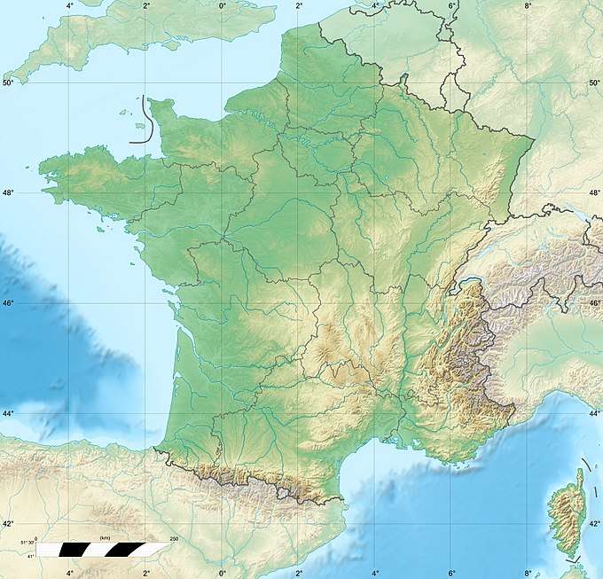 LFHM Location of airport in France | |||||||||||
| Runways | |||||||||||
| |||||||||||
Facilities
The airport is at an elevation of 4,830 feet (1,472 m) above mean sea level. It has one runway designated 15/33 with a paved surface measuring 434 by 18 metres (1,424 ft × 59 ft).[1]
References
- LFHM – MEGÈVE. AIP from French Service d'information aéronautique, effective 13 August 2020.
- (in French) Altiport de Megève (MVV / LFHM) at Union des Aéroports Français
This article is issued from Wikipedia. The text is licensed under Creative Commons - Attribution - Sharealike. Additional terms may apply for the media files.