Gap–Tallard Airport
Gap – Tallard Airport (IATA: GAT[2], ICAO: LFNA) is an airport located in Tallard, 12 km (7 miles) south-southwest of Gap,[1] both communes in the Hautes-Alpes department of the Provence-Alpes-Côte d'Azur region in southeastern France.
Gap - Tallard Airport Aérodrome de Gap - Tallard | |||||||||||||||||||
|---|---|---|---|---|---|---|---|---|---|---|---|---|---|---|---|---|---|---|---|
 | |||||||||||||||||||
| Summary | |||||||||||||||||||
| Airport type | Public | ||||||||||||||||||
| Serves | Gap, Hautes-Alpes, France | ||||||||||||||||||
| Location | Tallard | ||||||||||||||||||
| Elevation AMSL | 1,966 ft / 599 m | ||||||||||||||||||
| Coordinates | 44°27′14″N 006°02′12″E | ||||||||||||||||||
| Map | |||||||||||||||||||
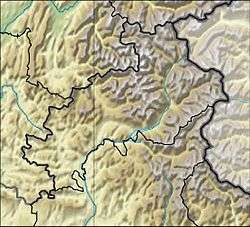 LFNA Location in Hautes-Alpes department Location of department in France 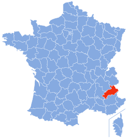 | |||||||||||||||||||
| Runways | |||||||||||||||||||
| |||||||||||||||||||
Facilities
The airport is at an elevation of 1,966 feet (599 m) above mean sea level. The primary runway is designated 03/21 and has a paved surface which measures 965 by 30 metres (3,166 ft × 98 ft). There is also a parallel grass runway measuring 700 by 80 metres (2,300 ft × 260 ft) and paved strip measuring 443 by 10 metres (1,453 ft × 33 ft).[1]
References
- LFNA – GAP TALLARD. AIP from French Service d'information aéronautique, effective 13 August 2020.
- Airport information for Gap, France (LFNA / GAT) at Great Circle Mapper.

This article is issued from Wikipedia. The text is licensed under Creative Commons - Attribution - Sharealike. Additional terms may apply for the media files.