Limoges – Bellegarde Airport
Limoges – Bellegarde Airport (French: Aéroport de Limoges – Bellegarde, IATA: LIG, ICAO: LFBL) is an airport located 6 kilometres (4 mi) west-northwest of Limoges,[1] a commune of the Haute-Vienne department in the Nouvelle-Aquitaine region of France. The airport presently has limited mass transit options which include only three stops per day of bus line 26 and a shared taxi service to and from the main train station.[2] [3]
Limoges – Bellegarde Airport Aéroport de Limoges – Bellegarde | |||||||||||||||
|---|---|---|---|---|---|---|---|---|---|---|---|---|---|---|---|
 | |||||||||||||||
| Summary | |||||||||||||||
| Airport type | Public | ||||||||||||||
| Operator | CCI de Limoges | ||||||||||||||
| Serves | Limoges, France | ||||||||||||||
| Location | Bellegarde | ||||||||||||||
| Elevation AMSL | 1,300 ft / 396 m | ||||||||||||||
| Coordinates | 45°51′39″N 001°10′49″E | ||||||||||||||
| Website | www.AeroportLimoges.com | ||||||||||||||
| Map | |||||||||||||||
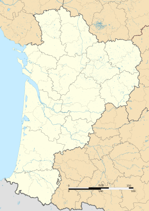 LFBL Location in Nouvelle-Aquitaine region | |||||||||||||||
| Runways | |||||||||||||||
| |||||||||||||||
| Statistics (2014) | |||||||||||||||
| |||||||||||||||
Source: French AIP[1] | |||||||||||||||
Facilities
The airport resides at an elevation of 1,300 feet (396 m) above mean sea level. It has one paved runway designated 03/21 which measures 2,440 by 45 metres (8,005 ft × 148 ft). It also has a parallel grass runway measuring 800 by 80 metres (2,625 ft × 262 ft).[1]
Airlines and destinations
| Airlines | Destinations |
|---|---|
| Chalair Aviation | Lyon, Paris–Orly Seasonal: Ajaccio, Bastia[4] |
| Ryanair | East Midlands, London–Stansted, Manchester Seasonal: Bristol, Leeds/Bradford |
References
- LFBL – Limoges Bellegarde. AIP from French Service d'information aéronautique, effective 13 August 2020.
- http://www.stcl.fr/fr/les-plans/8
- http://www.airportlimoges.co.uk/access__car_park/special_taxis_fares_to_the_train_station/54-special_taxis_fares_to_the_train_station.php
- http://airlineroute.net/2016/01/01/ce-bia-s16/
External links
![]()
- Limoges Airport (official site) (in English)
- Aéroport de Limoges (Union des Aéroports Français) (in French)
- Aeronautical chart and airport information for LFBL at SkyVector
- Current weather for LFBL at NOAA/NWS
- Accident history for LIG at Aviation Safety Network