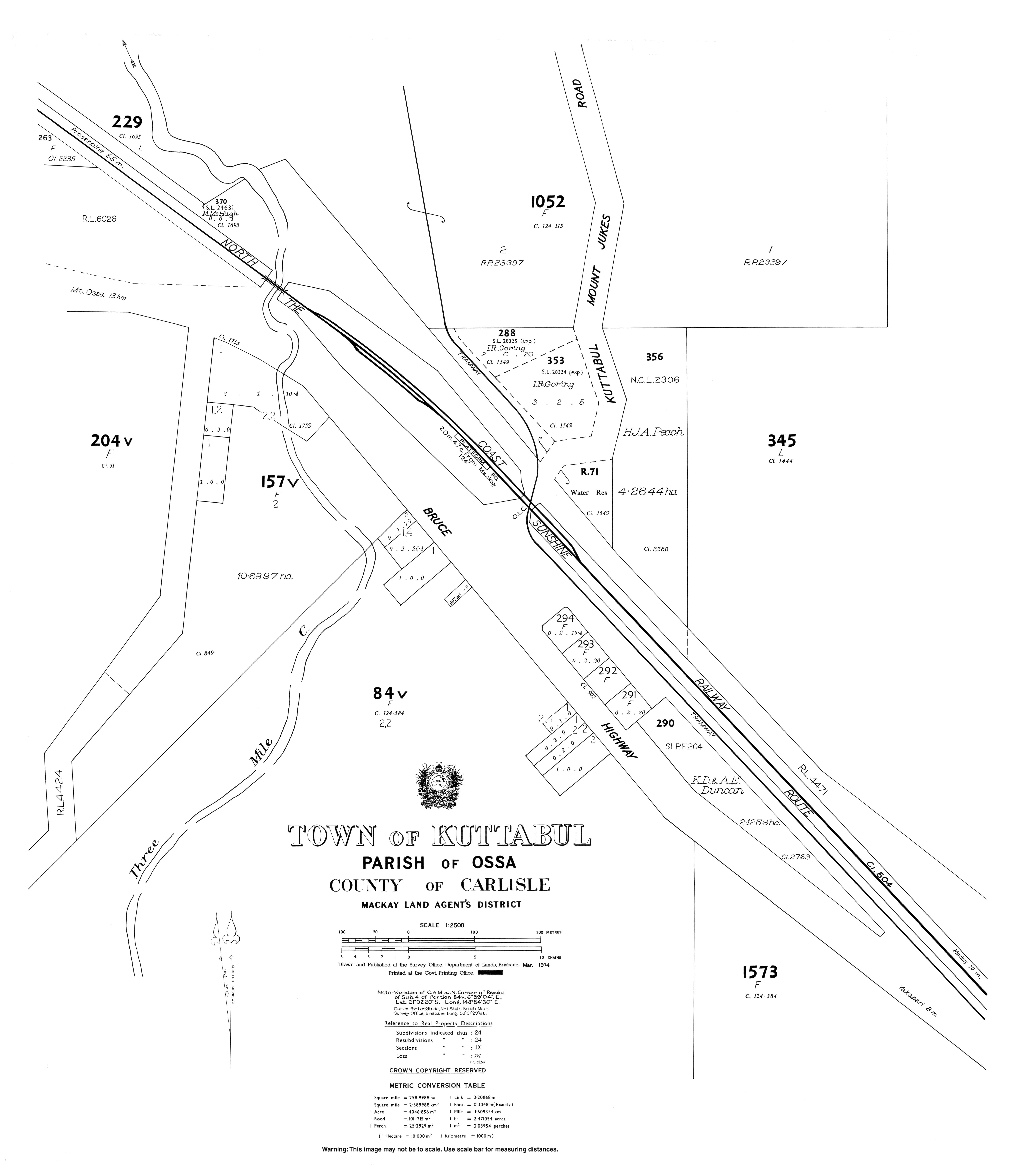
Kuttabul, Queensland
Kuttabul is a town and a locality in the Mackay Region, Queensland, Australia.[1][2]
| Kuttabul Queensland | |||||||||||||||
|---|---|---|---|---|---|---|---|---|---|---|---|---|---|---|---|
 Kuttabul | |||||||||||||||
| Coordinates | 21.0375°S 148.9088°E | ||||||||||||||
| Postcode(s) | 4741 | ||||||||||||||
| Area | 137.8 km2 (53.2 sq mi) | ||||||||||||||
| LGA(s) | Mackay Region | ||||||||||||||
| State electorate(s) | Whitsunday | ||||||||||||||
| Federal Division(s) | Dawson | ||||||||||||||
| |||||||||||||||
Geography
The town is located in the centre of the locality. The Bruce Highway crosses through the locality from the south-east to north-west, passing through the town. The North Coast railway line also crosses through the locality from the south-east to north-west running roughly parallel and to the east of the highway passing through the town. The town is served by the Kattabul railway station. The highway and railway pass through a low valley corridor (approx 40 metres above sea level) mostly used for growing sugarcane. To the west of the locality there are a number of mountains including Mount Martin (510 metres) within the Mount Martin National Park, while to the east of the locality there is The Pinnacle (570 metres) within the Pioneer Peaks National Park.[3]
History
The town takes its name from the railway station, which was assigned by the Queensland Railways Department on 5 March 1927. The name is an Aboriginal word meaning "wonderful".[1]
References
- "Kuttabul - town in Mackay Region (entry 18663)". Queensland Place Names. Queensland Government. Retrieved 27 July 2017.
- "Kuttabul - locality in Mackay Region (entry 46800)". Queensland Place Names. Queensland Government. Retrieved 27 July 2017.
- "Queensland Globe". State of Queensland. Retrieved 28 July 2017.
External links
- "Kuttabul". Queensland Places. Centre for the Government of Queensland, University of Queensland.
- Town map of Kuttabul, 1974