Holosiivskyi District
Holosiivskyi District (Ukrainian: Голосіївський район, translit.: Holosiivs’kyi raion) is an urban district of the city of Kiev, the capital of Ukraine.
Holosiivskyi District Голосіївський район | |
|---|---|
 Coat of arms | |
.svg.png) | |
| Country | |
| Oblast | Kiev City Municipality |
| Government | |
| • Mayor | Serhiy Sadovoi |
| Area | |
| • Total | 156.35 km2 (60.37 sq mi) |
| Population | |
| • Total | 205,300 |
| • Density | 1,311/km2 (3,400/sq mi) |
| Time zone | UTC+2 (EET) |
| • Summer (DST) | UTC+3 (EEST) |
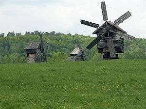
| Landmarks | National Expocenter of Ukraine, Museum of Folk Architecture and Life, Baikove Cemetery |
| Metro stations | Lybidska, Palats "Ukrayina", Olimpiiska |
| Website | golosiiv.gov.ua |
Holosiivskyi District was created during changing of administrative divisions of the capital of Ukraine, which was conducted in September 2001, as per the decision of the Kiev City Council on January 1, 2001.
Holosiivskyi District is located in the southwestern part of Kiev, bordering the Shevchenkivskyi, Solomianskyi, Pecherskyi, and Darnytskyi districts of Kiev, and the Kiev-Sviatoshyn, Obukhiv, and Boryspil raions of Kiev Oblast.
The territory of the raion begins from the famous Khreshchatyk street, and stretches toward the southwest of Kiev. Considering this, the raion is somewhat like the southwest entrance into the city. The raion consists of the following historical neighborhoods of Kiev: Pankivshchyna, Predslavyno, Yamky, Saperna Slobidka, Baikovo, Zabaikove, Demiivka, Shyrma, Tsymbalov Yar, Dobryi Put, Holosiiv, Feofaniya, Lysa Hora, Bahrynova Hora, Myshelovka, Samburky, Kytaevo, Pirogovo, Tserkovshchyna, Nyzhnia Telychka, Korchevate, Vyta, Teremky, and Vodnykiv Island.
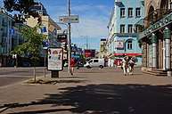
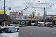
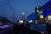
Gallery
External links
- golosiiv.gov.ua - Holosiivskyi District administration website (in Ukrainian and English)
- golosiyiv.kiev.ua - Holosiivskyi District portal (in Ukrainian)
- Голосіїв in Wiki-Encyclopedia Kyiv (in Ukrainian)
| Districts | |||||||
|---|---|---|---|---|---|---|---|
| Neighborhoods1 |
| ||||||
| |||||||