Etra, New Jersey
Etra is an unincorporated community located within East Windsor Township, in Mercer County, New Jersey, United States.[2] It consists mostly of residential homes (occupied and abandoned) and farmland.[3] East Windsor's largest park, Etra Lake Park, is located just east of the community.[4]
Etra, New Jersey | |
|---|---|
 Center of Etra at CR 571 (Etra Road) and Cedarville Road | |
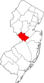
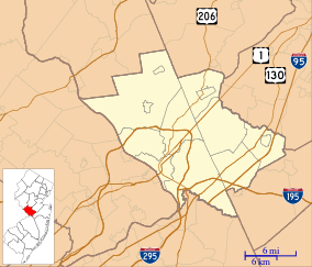 Etra, New Jersey Etra's location in Mercer County (Inset: Mercer County in New Jersey) 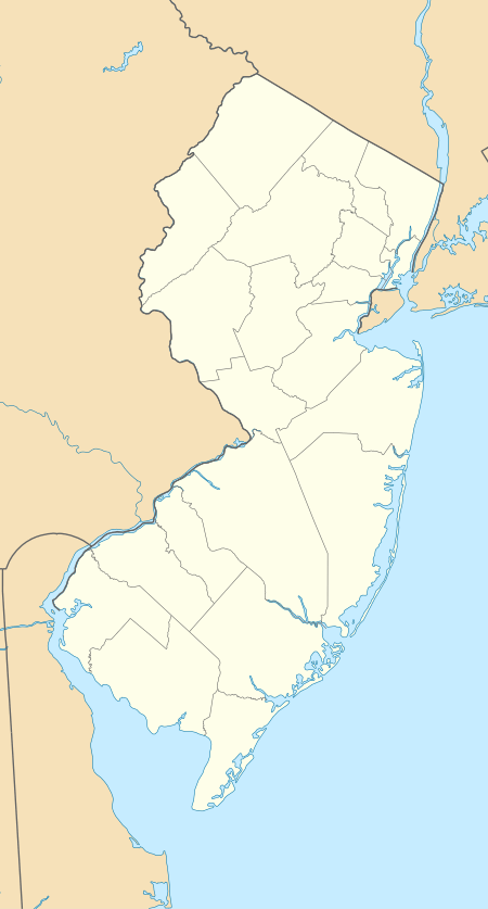 Etra, New Jersey Etra, New Jersey (New Jersey)  Etra, New Jersey Etra, New Jersey (the United States) | |
| Coordinates: 40°15′09″N 74°30′25″W | |
| Country | |
| State | |
| County | Mercer |
| Township | East Windsor |
| Elevation | 112 ft (34 m) |
| Time zone | Eastern |
| ZIP code | 08520 |
| GNIS feature ID | 0876223[1] |
Roads and highways
County Route 571 (Etra Road) travels through Etra and passes Etra Lake. In the center of Etra, CR 571 intersects Cedarville Road and Milford Road, the latter a rural road that provides access to Twin Rivers, Route 133 (Hightstown Bypass), and the New Jersey Turnpike (Interstate 95) via Route 33. Access to and from the Turnpike is through its interchange 8.
References
- "Etra". Geographic Names Information System. United States Geological Survey. Retrieved 2012-09-29.
- Locality Search, State of New Jersey. Accessed June 9, 2016.
- Google (March 8, 2015). "Aerial view of Etra" (Map). Google Maps. Google. Retrieved March 8, 2015.
- "East Windsor Township E-News Updates" (Press release). April 16, 2007. Archived from the original on September 23, 2015. Retrieved March 8, 2015.
This nearly one mile long pathway will provide for the first time a convenient and safe pedestrian access for everyone including children from the Twin Rivers area, the Township's largest residential community, to Etra Lake Park, the Township's largest park.
This article is issued from Wikipedia. The text is licensed under Creative Commons - Attribution - Sharealike. Additional terms may apply for the media files.