Carsons Mills, New Jersey
Carsons Mills is an unincorporated community located within Robbinsville Township in Mercer County, New Jersey, United States.[2][3] The community is located at the junctions of the Assunpink Creek and the New Sharon Branch creek and Sharon Road and Windsor Road southeast of the New Jersey Turnpike. Developed areas nearby include small residences and farmland while the undeveloped areas are forest and floodplains as a part of the Assunpink Wildlife Management Area.[3]
Carsons Mills, New Jersey | |
|---|---|
 Looking west from the intersection of Sharon and Windsor roads | |
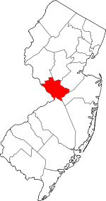
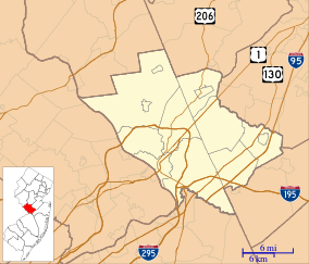 Carsons Mills, New Jersey Location of Carsons Mills in Mercer County Inset: Location of county within the state of New Jersey 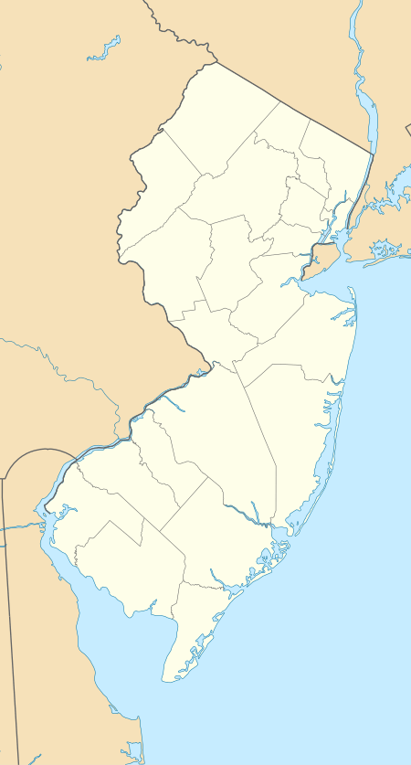 Carsons Mills, New Jersey Carsons Mills, New Jersey (New Jersey)  Carsons Mills, New Jersey Carsons Mills, New Jersey (the United States) | |
| Coordinates: 40°13′01″N 74°33′36″W | |
| Country | |
| State | |
| County | Mercer |
| Township | Robbinsville |
| Elevation | 92 ft (28 m) |
| GNIS feature ID | 875223[1] |
References
- "Carsons Mills". Geographic Names Information System. United States Geological Survey.
- Locality Search, State of New Jersey. Accessed January 10, 2015.
- Google (January 10, 2015). "Carsons Mills, New Jersey" (Map). Google Maps. Google. Retrieved January 10, 2015.
This article is issued from Wikipedia. The text is licensed under Creative Commons - Attribution - Sharealike. Additional terms may apply for the media files.