Cottonwood, Sequoyah County, Oklahoma
Cottonwood is an unincorporated community in Sequoyah County, Oklahoma.[1] It is 4 miles south of Muldrow, Oklahoma.[2] It is near the Oklahoma-Arkansas border.[3]
Cottonwood, Oklahoma | |
|---|---|
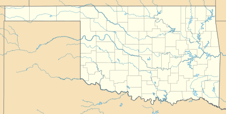 Cottonwood Location within the state of Oklahoma  Cottonwood Cottonwood (the United States) | |
| Coordinates: 35°22′06″N 94°32′57″W | |
| Country | United States |
| State | Oklahoma |
| County | Sequoyah |
| Elevation | 486 ft (148 m) |
| Time zone | UTC-6 (Central (CST)) |
| • Summer (DST) | UTC-5 (CDT) |
| GNIS feature ID | 1100327 |
History
A post office operated in Cottonwood from March 3, 1882 to June 15, 1909.[2] The area that became Coal County, including Sequoyah, became part of Cherokee Nation in 1829.[3] Between the Civil War and Oklahoma Statehood in 1907, Cottonwood was populated primarily by white intruders who had illegally entered Cherokee Nation.[3]
References
- U.S. Geological Survey Geographic Names Information System: Cottonwood, Sequoyah County, Oklahoma
- Shirk, George. Oklahoma Place Names, 2nd ed. University of Oklahoma Press: Norman, Oklahoma. 1987. p.60.
- Mize, Richard. "Sequoyah County," Encyclopedia of Oklahoma History and Culture, Oklahoma Historical Society, Accessed July 1, 2015.
Municipalities and communities of Sequoyah County, Oklahoma, United States | ||
|---|---|---|
| City | 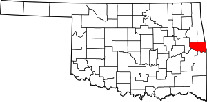 Sequoyah County map | |
| Towns | ||
| CDPs | ||
| Unincorporated communities | ||
| Indian reservation | ||
| Footnotes | ‡This populated place also has portions in an adjacent county or counties | |
This article is issued from Wikipedia. The text is licensed under Creative Commons - Attribution - Sharealike. Additional terms may apply for the media files.