West Sutton Historic District
The West Sutton Historic District encompasses the rural southwestern section of Sutton, Massachusetts, including the rural village of West Sutton, which stretches along Central Turnpike from Manchaug Road to the Oxford town line. Most of its 460 acres (190 ha) are taken up by farmsteads and the associated agricultural lands. The village, which consists primarily of residential properties from the 18th and 19th centuries, also includes a church, cemetery, former tavern, former school, and evidence of an early industrial past, including one extant sawmill which dates to 1831.[2]
West Sutton Historic District | |
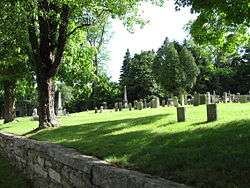 West Sutton Cemetery | |
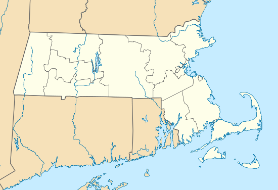  | |
| Location | Sutton, Massachusetts |
|---|---|
| Coordinates | 42°7′2″N 71°48′11″W |
| Area | 460 acres (190 ha) |
| Built | 1721 |
| Architectural style | Federal, Greek Revival |
| NRHP reference No. | 01000871 [1] |
| Added to NRHP | August 8, 2001 |
The district was listed on the National Register of Historic Places in 2001.[1]
References
- "National Register Information System". National Register of Historic Places. National Park Service. April 15, 2008.
- "NRHP nomination for West Sutton Historic District". Retrieved 2014-03-13.
| Topics |  | ||||||||||||||||
|---|---|---|---|---|---|---|---|---|---|---|---|---|---|---|---|---|---|
| Lists by county | |||||||||||||||||
| Lists by city |
| ||||||||||||||||
| Other lists | |||||||||||||||||
| |||||||||||||||||
This article is issued from Wikipedia. The text is licensed under Creative Commons - Attribution - Sharealike. Additional terms may apply for the media files.