National Register of Historic Places listings in southwestern Worcester, Massachusetts
There are 281 properties and historic districts on the National Register of Historic Places in Worcester, Massachusetts. Of these, 81 are west of I-190 and the north-south section of I-290 and south of Massachusetts Route 122, and are listed below. One listing, the Blackstone Canal Historic District, overlaps into other parts of the city.
The locations of National Register properties and districts (at least for all showing latitude and longitude coordinates below) may be seen in an online map by clicking on "Map of all coordinates".[1]
- This National Park Service list is complete through NPS recent listings posted August 14, 2020.[2]
Current listings
| [3] | Name on the Register | Image | Date listed[4] | Location | Description |
|---|---|---|---|---|---|
| 1 | Adriatic Mills | 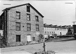 Adriatic Mills |
March 5, 1980 (#80000483) |
3-35 Armory St. 42°14′48″N 71°48′49″W |
Demolished. |
| 2 | Catherine Ahern Three-Decker | 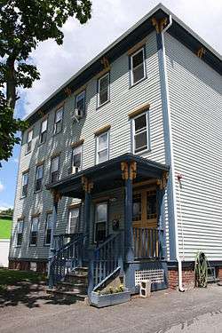 Catherine Ahern Three-Decker |
February 9, 1990 (#89002392) |
215 Cambridge St. 42°14′37″N 71°49′20″W |
|
| 3 | Ashworth and Jones Factory | 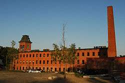 Ashworth and Jones Factory |
March 5, 1980 (#80000489) |
1511 Main St. 42°14′23″N 71°51′41″W |
|
| 4 | Aurora Hotel | 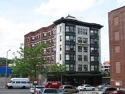 Aurora Hotel |
April 28, 1988 (#88000429) |
652-660 Main St. 42°15′34″N 71°48′20″W |
|
| 5 | Marion Battelle Three-Decker | 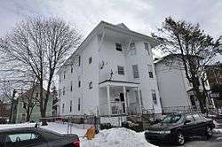 Marion Battelle Three-Decker |
February 9, 1990 (#89002429) |
13 Preston St. 42°15′31″N 71°48′41″W |
|
| 6 | Beacon Street Firehouse | Beacon Street Firehouse |
March 5, 1980 (#80000538) |
108 Beacon St. 42°15′16″N 71°48′34″W |
|
| 7 | Beaver Street Historic District | 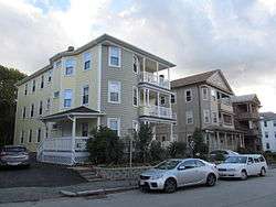 Beaver Street Historic District |
February 9, 1990 (#89002377) |
31-39 Beaver St. 42°14′58″N 71°49′38″W |
|
| 8 | Blackstone Canal Historic District | 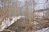 Blackstone Canal Historic District |
August 15, 1995 (#95001004) |
Sites along the historic route of the Blackstone Canal in Massachusetts 42°08′39″N 71°40′36″W |
Listing extends into other parts of Worcester, as well as Sutton, Grafton, Millbury, Northbridge, Uxbridge, Millville, Blackstone; the Rhode Island section of the canal is the subject of a separate listing (#91001536). |
| 9 | Boynton and Windsor | 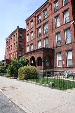 Boynton and Windsor |
March 5, 1980 (#80000540) |
718, 720 Main St. 42°15′28″N 71°48′32″W |
|
| 10 | Brightside Apartments | 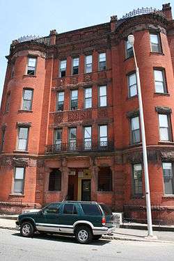 Brightside Apartments |
March 5, 1980 (#80000635) |
2 King St. 42°15′20″N 71°48′50″W |
|
| 11 | Cambridge Street Firehouse | 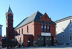 Cambridge Street Firehouse |
March 5, 1980 (#80000487) |
534 Cambridge St. 42°14′38″N 71°48′34″W |
|
| 12 | Cambridge Street School | 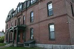 Cambridge Street School |
March 5, 1980 (#80000484) |
510 Cambridge St. 42°14′37″N 71°48′38″W |
|
| 13 | Castle Street Row |  Castle Street Row |
March 5, 1980 (#80000625) |
4-18 Castle St.; 20-24 Castle St. 42°15′24″N 71°48′45″W |
|
| 14 | Clark University | 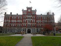 Clark University |
March 5, 1980 (#80000547) |
Clark University campus 42°15′03″N 71°49′23″W |
This listing includes the historic core buildings of Clark, bounded by Maywood, Woodland, and Main Streets. |
| 15 | Corner Lunch | 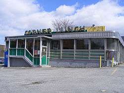 Corner Lunch |
November 15, 2000 (#00001286) |
133 Lamartine St. 42°15′10″N 71°48′20″W |
|
| 16 | Thomas Crabtree Three-Decker | 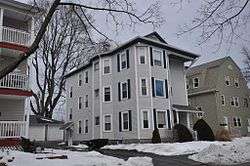 Thomas Crabtree Three-Decker |
February 9, 1990 (#89002383) |
22 Haynes St. 42°14′41″N 71°49′46″W |
|
| 17 | Elias Crawford House | 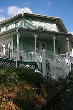 Elias Crawford House |
March 5, 1980 (#80000552) |
3 Norwood St. 42°15′10″N 71°49′09″W |
|
| 18 | Crystal Street Historic District | 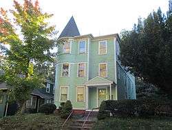 Crystal Street Historic District |
February 9, 1990 (#89002379) |
30-34 Crystal St. 42°14′47″N 71°49′24″W |
|
| 19 | Dale and Ethan Allen Streets Historic District | December 2, 2019 (#100004700) |
18, 31-33, 21-23 & 11-15 Dale St./1 Allendale St., 22, 26, 25-27,15 &17 Ethan Allen St. 42°14′54″N 71°49′14″W |
||
| 19 | Wesley Davis Three-Decker | 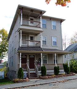 Wesley Davis Three-Decker |
February 9, 1990 (#89002386) |
7 Albert St. 42°14′54″N 71°49′14″W |
|
| 20 | Dowley-Taylor House |  Dowley-Taylor House |
March 5, 1980 (#80000627) |
770 Main St. 42°15′24″N 71°48′40″W |
|
| 21 | Downing Street School | 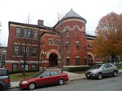 Downing Street School |
March 5, 1980 (#80000621) |
92 Downing St. 42°15′14″N 71°49′29″W |
|
| 22 | Emmanuel Baptist | 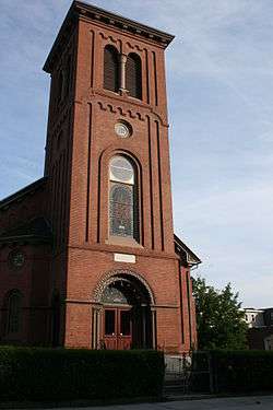 Emmanuel Baptist |
March 5, 1980 (#80000536) |
717 Main St. 42°15′27″N 71°48′29″W |
|
| 23 | Fairlawn | 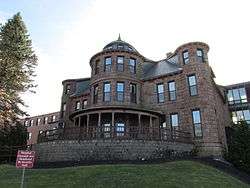 Fairlawn |
March 5, 1980 (#80000594) |
189 May St. 42°15′37″N 71°50′10″W |
|
| 24 | C.H. Fitch House |  C.H. Fitch House |
March 5, 1980 (#80000631) |
15 Oread St. 42°15′20″N 71°48′41″W |
|
| 25 | Levi Flagg Three-Decker |  Levi Flagg Three-Decker |
February 9, 1990 (#89002362) |
79 Florence St. 42°15′02″N 71°49′35″W |
|
| 26 | Freeland Street School |  Freeland Street School |
March 5, 1980 (#80000482) |
12 Freeland St. 42°14′49″N 71°49′33″W |
|
| 27 | Hadley Furniture Company Building |  Hadley Furniture Company Building |
March 1, 2011 (#11000068) |
651-659 Main St. 42°15′34″N 71°48′19″W |
|
| 28 | Charles A. Hall Three-Decker | 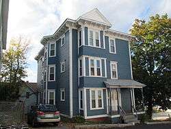 Charles A. Hall Three-Decker |
February 9, 1990 (#89002423) |
68 Mason St. 42°15′26″N 71°49′16″W |
|
| 29 | Hammond Organ Factory | 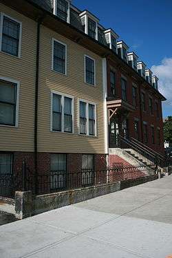 Hammond Organ Factory |
March 5, 1980 (#80000632) |
9 May St. 42°15′18″N 71°48′57″W |
|
| 30 | Samuel Hirst Three-Decker | 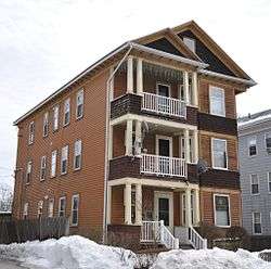 Samuel Hirst Three-Decker |
February 9, 1990 (#89002420) |
90 Lovell St. 42°15′10″N 71°49′58″W |
|
| 31 | Holy Name of Jesus Complex | 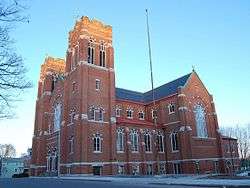 Holy Name of Jesus Complex |
June 9, 1988 (#88000721) |
Illinois St. 42°14′45″N 71°49′16″W |
|
| 32 | Hope Cemetery | 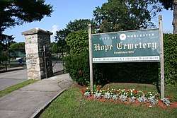 Hope Cemetery |
December 22, 1997 (#97001560) |
119 Webster St. 42°14′10″N 71°49′34″W |
|
| 33 | Daniel Hunt Three-Decker | 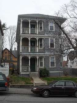 Daniel Hunt Three-Decker |
February 9, 1990 (#89002451) |
9 Wyman St. 42°15′02″N 71°49′14″W |
|
| 34 | IOOF Building | 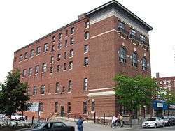 IOOF Building |
March 5, 1980 (#80000535) |
674 Main St. 42°15′31″N 71°48′26″W |
|
| 35 | Harry B. Ingraham Three-Decker | 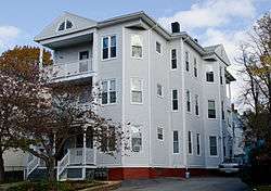 Harry B. Ingraham Three-Decker |
February 9, 1990 (#89002363) |
19 Freeland St. 42°14′48″N 71°49′30″W |
|
| 36 | Junction Shop and Hermon Street District | 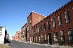 Junction Shop and Hermon Street District |
March 5, 1980 (#80000533) |
Properties on Jackson, Hermon, and Beacon Sts. 42°15′22″N 71°48′28″W |
Misspelled "Herman" in the National Register listing. |
| 37 | Lucius Knowles House |  Lucius Knowles House |
March 5, 1980 (#80000628) |
838 Main St. 42°15′18″N 71°48′53″W |
|
| 38 | John Legg House | 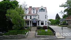 John Legg House |
March 5, 1980 (#80000623) |
5 Claremont St. 42°15′14″N 71°49′03″W |
|
| 39 | Thomas Lumb Three-Decker | 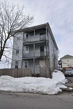 Thomas Lumb Three-Decker |
February 9, 1990 (#89002403) |
80 Dewey St. 42°15′36″N 71°49′15″W |
|
| 40 | Thomas Lumb Three-Decker | 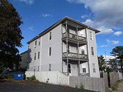 Thomas Lumb Three-Decker |
February 9, 1990 (#89002448) |
44 Winfield St. 42°15′36″N 71°49′17″W |
|
| 41 | John Mark Three-Decker | 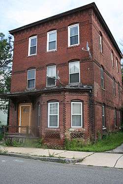 John Mark Three-Decker |
February 9, 1990 (#89002435) |
24 Sigel St. 42°15′06″N 71°48′10″W |
|
| 42 | Masonic Temple | 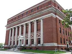 Masonic Temple |
March 5, 1980 (#80000537) |
Ionic Ave. 42°15′29″N 71°48′21″W |
|
| 43 | May Street Historic District |  May Street Historic District |
March 5, 1980 (#80000622) |
29-46 May St. 42°15′22″N 71°49′11″W |
|
| 44 | Elizabeth McCafferty Three-Decker |  Elizabeth McCafferty Three-Decker |
February 9, 1990 (#89002395) |
45 Canterbury St. 42°14′57″N 71°48′49″W |
Building demolished. Now a cement block auto body shop on site. |
| 45 | Andrew McCarron Three-Decker | 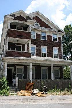 Andrew McCarron Three-Decker |
February 9, 1990 (#89002442) |
3 Pitt St. 42°14′41″N 71°48′23″W |
|
| 46 | John B. McDermott Three-Decker |  John B. McDermott Three-Decker |
February 9, 1990 (#89002366) |
21 Freeland St. 42°14′47″N 71°49′30″W |
|
| 47 | Miss Worcester Diner | 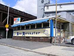 Miss Worcester Diner |
November 21, 2003 (#03001178) |
302 Southbridge St. 42°15′14″N 71°48′24″W |
|
| 48 | S. D. Newton House |  S. D. Newton House |
March 5, 1980 (#09000142) |
8 Sycamore St. 42°16′30″N 71°48′21″W |
|
| 49 | Norcross Brothers Houses |  Norcross Brothers Houses |
March 5, 1980 (#80000624) |
16, 18 Claremont St. 42°15′18″N 71°49′07″W |
|
| 50 | James O'Connor Three-Decker |  James O'Connor Three-Decker |
February 9, 1990 (#89002419) |
23 Endicott St. 42°15′03″N 71°48′14″W |
|
| 51 | James O'Connor-John Trybowski Three-Decker | 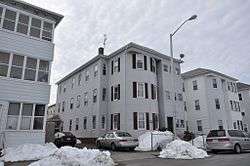 James O'Connor-John Trybowski Three-Decker |
February 9, 1990 (#89002393) |
21 Canton St. 42°14′56″N 71°48′10″W |
|
| 52 | Pilgrim Congregational Church | 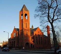 Pilgrim Congregational Church |
March 5, 1980 (#80000551) |
909 Main St. 42°15′07″N 71°49′08″W |
|
| 53 | Frank Reed Three-Decker | 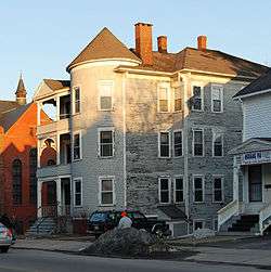 Frank Reed Three-Decker |
February 9, 1990 (#89002422) |
913, 915 Main St. 42°15′06″N 71°49′10″W |
|
| 54 | Albert Ridyard Three-Decker |  Albert Ridyard Three-Decker |
February 9, 1990 (#89002431) |
5 Mount Pleasant St. 42°15′14″N 71°48′46″W |
|
| 55 | St. Marks | 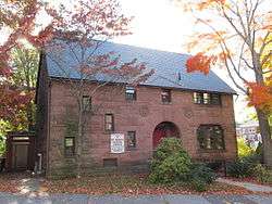 St. Marks |
March 5, 1980 (#80000481) |
Freeland St. 42°14′52″N 71°49′34″W |
|
| 56 | St. Matthews | 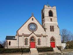 St. Matthews |
March 5, 1980 (#80000485) |
693 Southbridge St. 42°14′35″N 71°48′44″W |
|
| 57 | St. Peters Catholic Church | 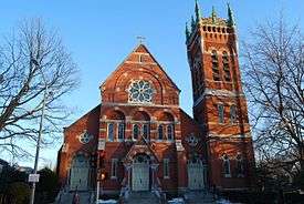 St. Peters Catholic Church |
March 5, 1980 (#80000548) |
935 Main St. 42°14′35″N 71°48′44″W |
|
| 58 | James Schofield House | 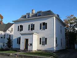 James Schofield House |
March 5, 1980 (#80000634) |
3 Mt. Pleasant St. 42°15′14″N 71°48′45″W |
|
| 59 | Moody Shattuck House | 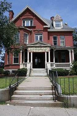 Moody Shattuck House |
March 5, 1980 (#80000626) |
768 Main St. 42°15′25″N 71°48′38″W |
|
| 60 | Clara Simpson Three-Decker | 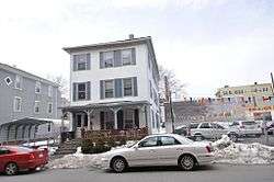 Clara Simpson Three-Decker |
February 9, 1990 (#89002440) |
69 Piedmont St. 42°15′36″N 71°48′46″W |
|
| 61 | Ellen M. Smith Three-Decker | 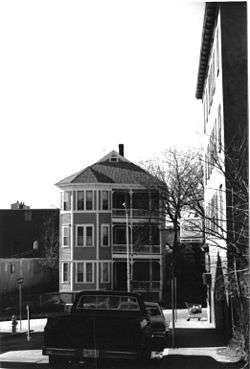 Ellen M. Smith Three-Decker |
February 9, 1990 (#89002409) |
22 Kilby St. 42°15′02″N 71°48′58″W |
House demolished and replaced with a modern duplex at site. |
| 62 | Elliot Smith House | 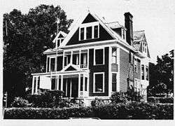 Elliot Smith House |
March 5, 1980 (#80000629) |
839 Main St. 42°15′15″N 71°48′53″W |
Building demolished.[5] Empty lot. |
| 63 | South Unitarian |  South Unitarian |
March 5, 1980 (#80000550) |
888 Main St. 42°15′11″N 71°49′05″W |
|
| 64 | South Worcester Branch Library |  South Worcester Branch Library |
March 5, 1980 (#80000486) |
705 Southbridge St. 42°14′33″N 71°48′45″W |
|
| 65 | Southbridge-Sargent Manufacturing District | 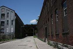 Southbridge-Sargent Manufacturing District |
March 5, 1980 (#80000534) |
Southbridge, Sargent, and Gold Sts. 42°15′15″N 71°48′23″W |
|
| 66 | Edward Stark House | 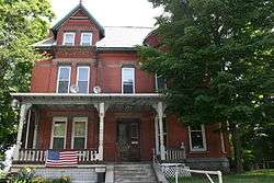 Edward Stark House |
March 5, 1980 (#80000633) |
21 Oread St. 42°15′18″N 71°48′39″W |
|
| 67 | Stearns Tavern | 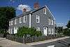 Stearns Tavern |
March 5, 1980 (#80000479) |
651 Park Ave. 42°14′44″N 71°50′08″W |
|
| 68 | Daniel Stevens House | 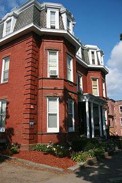 Daniel Stevens House |
March 5, 1980 (#80000532) |
7 Sycamore St. 42°15′28″N 71°48′25″W |
|
| 69 | Edward Stone Three-Decker | 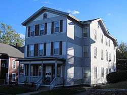 Edward Stone Three-Decker |
February 9, 1990 (#89002450) |
8 Wyman St. 42°15′01″N 71°49′14″W |
|
| 70 | John Troupes Three-Decker | 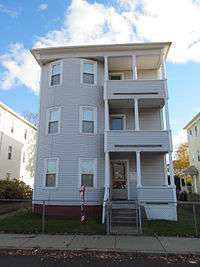 John Troupes Three-Decker |
February 9, 1990 (#89002394) |
25 Canton St. 42°14′55″N 71°48′12″W |
|
| 71 | The Vendome and the St. Ives | 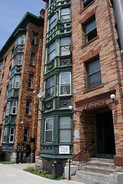 The Vendome and the St. Ives |
February 9, 1990 (#89002331) |
17-19 and 21-23 Chandler St. 42°15′33″N 71°48′19″W |
|
| 72 | Webster Street Firehouse | 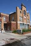 Webster Street Firehouse |
March 5, 1980 (#80000480) |
40 Webster St. 42°14′38″N 71°50′00″W |
|
| 73 | Wellington Street Apartment House District | 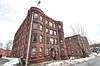 Wellington Street Apartment House District |
March 5, 1980 (#80000539) |
Properties along Jacques Ave. and Wellington and Irving Sts. 42°15′35″N 71°48′34″W |
|
| 74 | Franklin Wesson House | 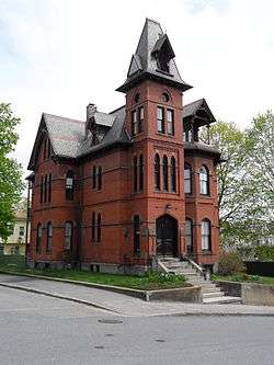 Franklin Wesson House |
March 5, 1980 (#80000603) |
8 Claremont St. 42°15′16″N 71°49′02″W |
|
| 75 | Whittall Mills |  Whittall Mills |
March 5, 1980 (#80000490) |
Properties off Brussels St. 42°14′27″N 71°48′54″W |
|
| 76 | Woodland Street Firehouse | 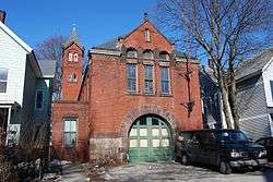 Woodland Street Firehouse |
March 5, 1980 (#80000630) |
36 Woodland St. 42°15′26″N 71°49′05″W |
|
| 77 | Woodland Street Historic District | 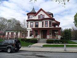 Woodland Street Historic District |
March 5, 1980 (#80000549) |
Properties along Hawthorne, Loudon, Norwood, and Woodland Sts. 42°15′11″N 71°49′15″W |
|
| 78 | Worcester Bleach and Dye Works | 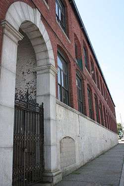 Worcester Bleach and Dye Works |
November 8, 2000 (#00001343) |
60 Fremont St. 42°14′29″N 71°49′03″W |
|
| 79 | Worcester Corset Company Factory | 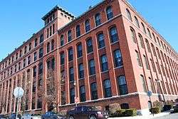 Worcester Corset Company Factory |
October 4, 1984 (#84000097) |
30 Wyman St. 42°14′56″N 71°49′10″W |
|
| 80 | Worcester Market Building | 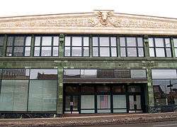 Worcester Market Building |
March 5, 1980 (#80000612) |
831 Main St. 42°15′34″N 71°48′18″W |
gollark: Also, as far as I know laptop GPUs are soldered to the mainboard and nigh-impossible to replace.
gollark: Quite possibly.
gollark: ddg! uk.pcpartpicker.com
gollark: pcpartpicker™.
gollark: No, I mean working out how to route things in the actual design.
See also
- National Register of Historic Places listings in Worcester, Massachusetts
- National Register of Historic Places listings in northwestern Worcester, Massachusetts
- National Register of Historic Places listings in eastern Worcester, Massachusetts
- National Register of Historic Places listings in Worcester County, Massachusetts
References
- The latitude and longitude information provided in this table was derived originally from the National Register Information System, which has been found to be fairly accurate for about 99% of listings. Some locations in this table may have been corrected to current GPS standards.
- "National Register of Historic Places: Weekly List Actions". National Park Service, United States Department of the Interior. Retrieved on August 14, 2020.
- Numbers represent an ordering by significant words. Various colorings, defined here, differentiate National Historic Landmarks and historic districts from other NRHP buildings, structures, sites or objects.
- The eight-digit number below each date is the number assigned to each location in the National Register Information System database, which can be viewed by clicking the number.
- "MACRIS Inventory record for Elliot Smith House". Commonwealth of Massachusetts. Retrieved 2013-03-12.
Nickname(s): The City of the Seven Hills, The Heart of the Commonwealth, Wormtown, Woo-town, The Woo | ||
| Topics |  | |
| Education |
See also: Colleges of Worcester Consortium | |
| Government | ||
| History | ||
| Museums | ||
| Sports teams | ||
| Topics | 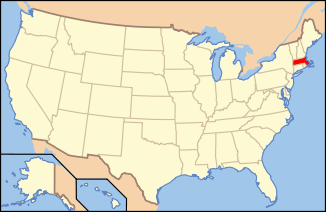 | ||||||||||||||||
|---|---|---|---|---|---|---|---|---|---|---|---|---|---|---|---|---|---|
| Lists by county | |||||||||||||||||
| Lists by city |
| ||||||||||||||||
| Other lists | |||||||||||||||||
| |||||||||||||||||
This article is issued from Wikipedia. The text is licensed under Creative Commons - Attribution - Sharealike. Additional terms may apply for the media files.