Wauraltee, South Australia
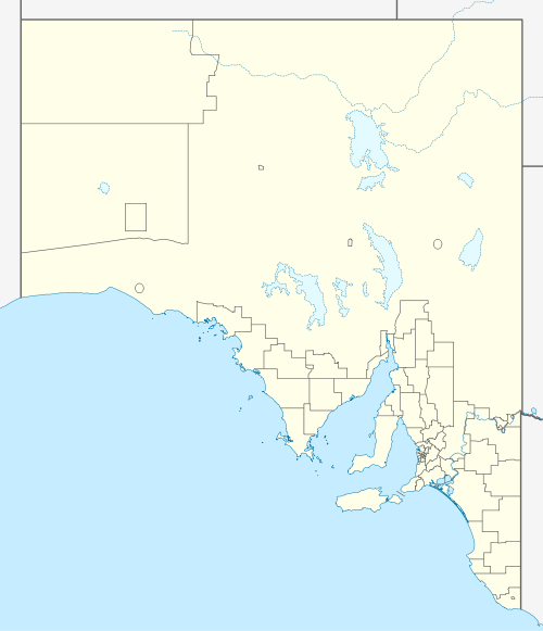
Wauraltee is a locality in the Australian state of South Australia located on the Yorke Peninsula about 102 kilometres (63 mi) west of the state capital of Adelaide and about 25 kilometres (16 mi) south-west of the municipal seat of Maitland.[1]
| Wauraltee South Australia | |||||||||||||||
|---|---|---|---|---|---|---|---|---|---|---|---|---|---|---|---|
 Wauraltee | |||||||||||||||
| Coordinates | 34°35′14″S 137°33′20″E[1] | ||||||||||||||
| Population | 56 (2016 census)[2] | ||||||||||||||
| Established | 27 May 1999[3] | ||||||||||||||
| Postcode(s) | 5573[4] | ||||||||||||||
| Time zone | ACST (UTC+9:30) | ||||||||||||||
| • Summer (DST) | ACST (UTC+10:30) | ||||||||||||||
| Location | |||||||||||||||
| LGA(s) | Yorke Peninsula Council[1] | ||||||||||||||
| Region | Yorke and Mid North[1] | ||||||||||||||
| State electorate(s) | Narungga[5] | ||||||||||||||
| Federal Division(s) | Grey[6] | ||||||||||||||
| |||||||||||||||
| |||||||||||||||
| Footnotes | Adjoining localities[1] | ||||||||||||||
Wauraltee's boundaries were created on 27 May 1999 and given the “local established name” which is derived from a local aboriginal word.[3]
The 2016 Australian census which was conducted in August 2016 reports that Wauraltee had a population of 56 people.[2]
Wauraltee is located within the federal division of Grey, the state electoral district of Narungga and the local government area of the Yorke Peninsula Council.[6][1][5]
References
- "Search results for 'Wauraltee, LOCB' with the following datasets selected - 'Suburbs and localities', 'Counties', 'Local Government Areas', 'SA Government Regions' and 'Gazetteer'". Location SA Map Viewer. South Australian Government. Retrieved 21 May 2020.
- Australian Bureau of Statistics (27 June 2017). "Wauraltee (State Suburb)". 2016 Census QuickStats.

- Kentish, Peter McLaren (27 May 1999), "GEOGRAPHICAL NAMES ACT 1991, Notice to Assign Boundaries and Names to Places (in the District Council of Yorke Peninsula)" (PDF), The South Australian Government Gazette: 2696, retrieved 21 May 2020 – via AustLII
- "Postcode for Wauraltee, South Australia". Postcodes Australia. Retrieved 21 May 2020.
- "District of Narungga Background Profile". Electoral Commission SA. Retrieved 21 May 2020.
- "Profile of the electoral division of Grey (SA)". Australian Electoral Commission. Retrieved 21 May 2020.
- "Monthly Climate Statistics for Maitland (nearest weather station)". Climate statistics for Australian locations. Bureau of Meteorology. Retrieved 21 May 2020.
This article is issued from Wikipedia. The text is licensed under Creative Commons - Attribution - Sharealike. Additional terms may apply for the media files.