Vapar
Vapar is a village in the Champhai district of Mizoram, India. It is located in the Champhai R.D. Block.[1]
Vapar | |
|---|---|
village | |
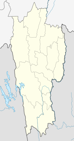
 Vapar Location in Mizoram, India  Vapar Vapar (India) | |
| Coordinates: 23.6194445°N 93.3495969°E | |
| Country | India |
| State | Mizoram |
| District | Champhai |
| Block | Champhai |
| Elevation | 1,414 m (4,639 ft) |
| Population (2011) | |
| • Total | 891 |
| Time zone | UTC+5:30 (IST) |
| 2011 census code | 271346 |
Demographics
According to the 2011 census of India, Vapar has 184 households. The effective literacy rate (i.e. the literacy rate of population excluding children aged 6 and below) is 89.94%.[2]
| Total | Male | Female | |
|---|---|---|---|
| Population | 891 | 481 | 410 |
| Children aged below 6 years | 205 | 115 | 90 |
| Scheduled caste | 2 | 2 | 0 |
| Scheduled tribe | 868 | 465 | 403 |
| Literates | 617 | 347 | 270 |
| Workers (all) | 401 | 244 | 157 |
| Main workers (total) | 357 | 241 | 116 |
| Main workers: Cultivators | 251 | 159 | 92 |
| Main workers: Agricultural labourers | 48 | 35 | 13 |
| Main workers: Household industry workers | 2 | 1 | 1 |
| Main workers: Other | 56 | 46 | 10 |
| Marginal workers (total) | 44 | 3 | 41 |
| Marginal workers: Cultivators | 26 | 3 | 23 |
| Marginal workers: Agricultural labourers | 16 | 0 | 16 |
| Marginal workers: Household industry workers | 0 | 0 | 0 |
| Marginal workers: Others | 2 | 0 | 2 |
| Non-workers | 490 | 237 | 253 |
gollark: My superior home directory is 78GB in size.
gollark: ÆÆÆÆÆÆÆÆÆÆ
gollark: This is not permitted due to COVID-19.
gollark: Why did you do such a thing?
gollark: Autocratic anaardvarkocracy, various communistic communisms, direct ultrahyperdemocracy, rule by random number generator, exactly seven people, sort of thing.
References
- "Mizoram villages" (PDF). Land Records Information Systems Division, NIC. Archived from the original (PDF) on 6 August 2014. Retrieved 22 August 2015.
- "District Census Handbook - Champhai" (PDF). 2011 Census of India. Directorate of Census Operations, Mizoram. Retrieved 22 August 2015.
This article is issued from Wikipedia. The text is licensed under Creative Commons - Attribution - Sharealike. Additional terms may apply for the media files.