Saichal
Saichal is a village in the Saitual district of Mizoram, India. It is located in the Ngopa R.D. Block.[1]
Saichal | |
|---|---|
village | |
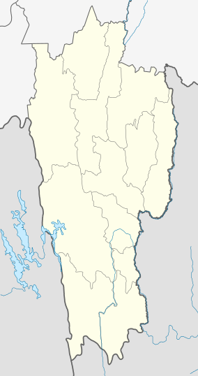 Saichal Location in Mizoram, India  Saichal Saichal (India) | |
| Coordinates: 23.718867°N 93.0682635°E | |
| Country | India |
| State | Mizoram |
| District | Champhai |
| Block | Ngopa |
| Elevation | 1,110 m (3,640 ft) |
| Population (2011) | |
| • Total | 904 |
| Time zone | UTC+5:30 (IST) |
| 2011 census code | 271304 |
Demographics
According to the 2011 census of India, Saichal has 169 households. The effective literacy rate (i.e. the literacy rate of population excluding children aged 6 and below) is 95.74%.[2]
| Total | Male | Female | |
|---|---|---|---|
| Population | 904 | 466 | 438 |
| Children aged below 6 years | 153 | 80 | 73 |
| Scheduled caste | 0 | 0 | 0 |
| Scheduled tribe | 899 | 464 | 435 |
| Literates | 719 | 373 | 346 |
| Workers (all) | 477 | 262 | 215 |
| Main workers (total) | 456 | 249 | 207 |
| Main workers: Cultivators | 405 | 226 | 179 |
| Main workers: Agricultural labourers | 1 | 0 | 1 |
| Main workers: Household industry workers | 3 | 2 | 1 |
| Main workers: Other | 47 | 21 | 26 |
| Marginal workers (total) | 21 | 13 | 8 |
| Marginal workers: Cultivators | 8 | 6 | 2 |
| Marginal workers: Agricultural labourers | 0 | 0 | 0 |
| Marginal workers: Household industry workers | 0 | 0 | 0 |
| Marginal workers: Others | 13 | 7 | 6 |
| Non-workers | 427 | 204 | 223 |
gollark: Well, I'm in the UK, so you could just give me money to register domains with, as I'm highly* trustworthy**.
gollark: But making them longer requires throwing computing power at it.
gollark: Yep.
gollark: He just manually burns each bit of his program into ROM with an EUV laser, obviously.
gollark: The `/abcd` on the end of the addresses is a random ID so you can have multiple people on one computer use it.
References
- "Mizoram villages" (PDF). Land Records Information Systems Division, NIC. Retrieved 22 August 2015.
- "District Census Handbook - Champhai" (PDF). 2011 Census of India. Directorate of Census Operations, Mizoram. Retrieved 22 August 2015.
This article is issued from Wikipedia. The text is licensed under Creative Commons - Attribution - Sharealike. Additional terms may apply for the media files.