E. Chawngtui
E. Chawngtui is a village in the Champhai district of Mizoram, India. It is located in the Khawbung R.D. Block.[1]
E. Chawngtui | |
|---|---|
village | |
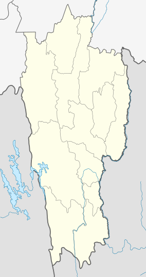 E. Chawngtui Location in Mizoram, India  E. Chawngtui E. Chawngtui (India) | |
| Coordinates: 23.1275124°N 93.3247266°E | |
| Country | India |
| State | Mizoram |
| District | Champhai |
| Block | Khawbung |
| Elevation | 1,384 m (4,541 ft) |
| Population (2011) | |
| • Total | 290 |
| Time zone | UTC+5:30 (IST) |
| 2011 census code | 271370 |
Demographics
According to the 2011 census of India, E. Chawngtui has 59 households. The effective literacy rate (i.e. the literacy rate of population excluding children aged 6 and below) is 95%.[2]
| Total | Male | Female | |
|---|---|---|---|
| Population | 290 | 147 | 143 |
| Children aged below 6 years | 70 | 35 | 35 |
| Scheduled caste | 0 | 0 | 0 |
| Scheduled tribe | 288 | 146 | 142 |
| Literates | 209 | 110 | 99 |
| Workers (all) | 144 | 73 | 71 |
| Main workers (total) | 75 | 63 | 12 |
| Main workers: Cultivators | 70 | 60 | 10 |
| Main workers: Agricultural labourers | 1 | 0 | 1 |
| Main workers: Household industry workers | 1 | 0 | 1 |
| Main workers: Other | 3 | 3 | 0 |
| Marginal workers (total) | 69 | 10 | 59 |
| Marginal workers: Cultivators | 5 | 3 | 2 |
| Marginal workers: Agricultural labourers | 1 | 1 | 0 |
| Marginal workers: Household industry workers | 2 | 0 | 2 |
| Marginal workers: Others | 61 | 6 | 55 |
| Non-workers | 146 | 74 | 72 |
gollark: It causes unfathomable bugs.
gollark: Turn off uBlock Origin for osmarks.tk.
gollark: This is admittedly really not a very good EWO implementation but it technically probably counts?
gollark: This is too inefficient and is making my browser freeze.
gollark: I'll have to look into why it breaks.
References
- "Mizoram villages" (PDF). Land Records Information Systems Division, NIC. Archived from the original (PDF) on 6 August 2014. Retrieved 22 August 2015.
- "District Census Handbook - Champhai" (PDF). 2011 Census of India. Directorate of Census Operations, Mizoram. Retrieved 22 August 2015.
This article is issued from Wikipedia. The text is licensed under Creative Commons - Attribution - Sharealike. Additional terms may apply for the media files.