Leisenzo
Leisenzo is a village in the Champhai district of Mizoram, India. It is located in the Khawbung R.D. Block.[1]
Leisenzo | |
|---|---|
village | |
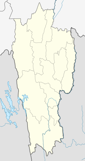 Leisenzo Location in Mizoram, India  Leisenzo Leisenzo (India) | |
| Coordinates: 23.2884667°N 93.3256708°E | |
| Country | India |
| State | Mizoram |
| District | Champhai |
| Block | Khawbung |
| Elevation | 1,590 m (5,220 ft) |
| Population (2011) | |
| • Total | 796 |
| Time zone | UTC+5:30 (IST) |
| 2011 census code | 271356 |
Demographics
According to the 2011 census of India, Leisenzo has 155 households. The effective literacy rate (i.e. the literacy rate of population excluding children aged 6 and below) is 92.63%.[2]
| Total | Male | Female | |
|---|---|---|---|
| Population | 796 | 397 | 399 |
| Children aged below 6 years | 118 | 63 | 55 |
| Scheduled caste | 0 | 0 | 0 |
| Scheduled tribe | 795 | 397 | 398 |
| Literates | 628 | 325 | 303 |
| Workers (all) | 409 | 194 | 215 |
| Main workers (total) | 404 | 191 | 213 |
| Main workers: Cultivators | 352 | 159 | 193 |
| Main workers: Agricultural labourers | 3 | 2 | 1 |
| Main workers: Household industry workers | 2 | 1 | 1 |
| Main workers: Other | 47 | 29 | 18 |
| Marginal workers (total) | 5 | 3 | 2 |
| Marginal workers: Cultivators | 0 | 0 | 0 |
| Marginal workers: Agricultural labourers | 1 | 1 | 0 |
| Marginal workers: Household industry workers | 0 | 0 | 0 |
| Marginal workers: Others | 4 | 2 | 2 |
| Non-workers | 387 | 203 | 184 |
gollark: ASFJ (PSHFMWR QWr
gollark: Mods are better.
gollark: What is?
gollark: <@!337621533369303042> <@!357932279231807488> <@!341618941317349376> <@485027179286102018> Please do https://www.politicalcompass.org/ and report your results.
gollark: Apparently I'm slightly left and very libertarian.
References
- "Mizoram villages" (PDF). Land Records Information Systems Division, NIC. Archived from the original (PDF) on 6 August 2014. Retrieved 22 August 2015.
- "District Census Handbook - Champhai" (PDF). 2011 Census of India. Directorate of Census Operations, Mizoram. Retrieved 22 August 2015.
This article is issued from Wikipedia. The text is licensed under Creative Commons - Attribution - Sharealike. Additional terms may apply for the media files.