Upper Harbledown
Upper Harbledown is a village in Harbledown and Rough Common civil parish about 2 miles (3 km) west of Canterbury, Kent, England. The population is roughly 400.
| Upper Harbledown | |
|---|---|
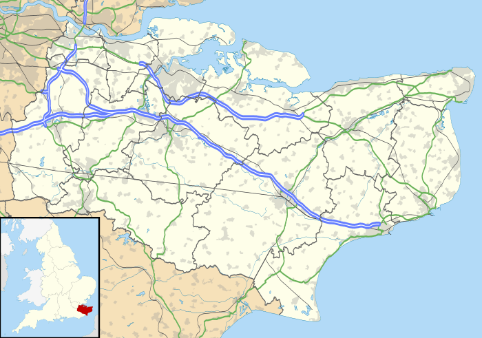 Upper Harbledown Location within Kent | |
| OS grid reference | TR114584 |
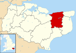
| District | |
| Shire county | |
| Region | |
| Country | England |
| Sovereign state | United Kingdom |
| Post town | Canterbury |
| Postcode district | CT2 |
| Dialling code | 01227 |
| Police | Kent |
| Fire | Kent |
| Ambulance | South East Coast |
| UK Parliament | |
History
The village lies on[1] or very close to the ancient trackway known as Watling Street. This became the main A2 road from London to Canterbury and Dover, which ran through the centre of the village before it was bypassed.
Amenities
The village has a village green, a children's play area, and a village hall. It did have a public house, The Plough, and a garden centre, but these have both closed down.
gollark: Turns out I don't actually have a USB power supply for it around for some reason. No idea how that happened.
gollark: I have a Pi, USB/SATA bridge and 1TB laptop disk lying around, so I was going to use that as a somewhat physically separated backup for my server.
gollark: People have done smaller ones to learn more about parallel computing things, but 26 seems excessive for that.
gollark: I bet 5 RPi4s would outperform that.
gollark: Are those *original* Raspberry Pies?
References
- Codrington, T., Roman roads in Britain, SPCK, 1903
External links
![]()
This article is issued from Wikipedia. The text is licensed under Creative Commons - Attribution - Sharealike. Additional terms may apply for the media files.