Ularara County
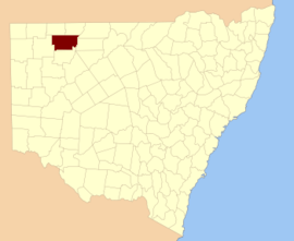
Ularara County is one of the 141 Cadastral divisions of New South Wales. It is located to the west of the Paroo River.
| Ularara New South Wales | |||||||||||||||
|---|---|---|---|---|---|---|---|---|---|---|---|---|---|---|---|
 Location in New South Wales | |||||||||||||||
| |||||||||||||||
The name Ularara is believed to be derived from a local Aboriginal word and is also the name of the local Ularara Station.[1]
Parishes within this county
A full list of parishes found within this county; their current LGA and mapping coordinates to the approximate centre of each location is as follows:
gollark: I mean, it would be nice to at least not be limited to Y256.
gollark: Also, disk space is something like £0.02/GB, I'm sure you can afford to keep your drawings around.
gollark: Hmm, might just be older versions.
gollark: I mean, the latest is 11, but Minecraft doesn't work on 9 and up.
gollark: "1.8" is just 8, isn't it?
References
- "Ularara". Geographical Names Register (GNR) of NSW. Geographical Names Board of New South Wales. Retrieved 11 August 2013.

This article is issued from Wikipedia. The text is licensed under Creative Commons - Attribution - Sharealike. Additional terms may apply for the media files.