Uitvlugt
Uitvlugt (pronounced "owt-flut") is a village in Guyana situated on the coastal public road on the west bank of the Demerara River. It lies immediately to the west of Stewartville and to the south of Zeeburg, and is about 20 minutes by road from Vreed-en-Hoop. The name is Dutch, and was the name of a huge sugar plantation. As of 2012 the population was 2,980 people from a variety of ethnic backgrounds.[1] Unusually for the region, the village has seven churches.[2]
Uitvlugt | |
|---|---|
Village | |
 Uitvlugt | |
| Coordinates: 6.874194°N 58.302304°W | |
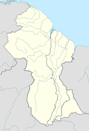
| Country | Guyana |
| Region | Essequibo Islands-West Demerara |
| Population (2012)[1] | |
| • Total | 2,980 |
| Time zone | UTC−04:00 |
See also
References
- "2012 Population by Village". Statistics Guyana. Retrieved 16 August 2020.
- ROXANNE CLARKE (March 18, 2012). "Uitvlugt". Stabroek News. Retrieved 2012-08-07.
This article is issued from Wikipedia. The text is licensed under Creative Commons - Attribution - Sharealike. Additional terms may apply for the media files.