Vreed en Hoop
Vreed en Hoop is a town at the mouth of the Demerara River on its left bank, in the Essequibo Islands-West Demerara region of Guyana, located at sea level.[2] It is the location of the Regional Democratic Council office making it the administrative center for the region. There is also a police station, magistrate's court and post office.[2]
Vreed en Hoop | |
|---|---|
village | |
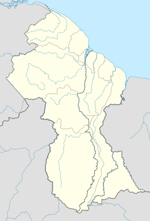
 Vreed en Hoop Location in Guyana | |
| Coordinates: 6°47′59.9″N 58°10′59.9″W | |
| Country | |
| Region | Essequibo Islands-West Demerara |
| Population (2012)[1] | |
| • Total | 469 |
| Time zone | UTC-4 |
| Climate | Af |
History
Vreed en Hoop encompasses a few smaller communities, among them New Road, Plantain Walk, Crane and Coglan Dam. The name of the town comes from the Dutch "Vreed en Hoop", meaning "Peace and Hope" in English.[2]
The name is derived from the Plantation Vreed en Hoop which already existed in 1798.[3] In 1832 ownership changed to Sir John Gladstone[3] who became the permanent absentee planter.[4] At the time of the emancipation of slavery, the plantation had 415 slaves.[4] In 1838, Gladstone was the first planter to expel most of his former slaves, and replace them with indentured servants from India.[4] In 1839, newspapers started to report physical abuse at his plantations, therefore Gladstone quietly transferred ownership.[4] The town was founded by A. Rahman (later changed to Rayman by the British) an indentured servant who won the land in an auction.
Vreed en Hoop also consists of a market and other shopping stores. It has an educational institute for children and a college where teachers go for training.
Transport
Passenger boats (speedboats) traverse the Demerara River linking Vreed en Hoop to the capital city of Georgetown in about five minutes, much faster than using the Demerara Harbour Bridge (DHB). For safety passengers must use the lifejackets provided. The busy terminal connects travellers to the West Bank Demerara road up to Parika, with cars and minibuses plying the routes.[2]
Climate
Vreed en Hoop has a tropical rainforest climate (Af) with heavy rainfall year-round.
| Climate data for Vreed en Hoop | |||||||||||||
|---|---|---|---|---|---|---|---|---|---|---|---|---|---|
| Month | Jan | Feb | Mar | Apr | May | Jun | Jul | Aug | Sep | Oct | Nov | Dec | Year |
| Average high °C (°F) | 28.8 (83.8) |
29.1 (84.4) |
29.4 (84.9) |
29.8 (85.6) |
29.5 (85.1) |
29.2 (84.6) |
29.5 (85.1) |
30.3 (86.5) |
31.1 (88.0) |
30.9 (87.6) |
30.3 (86.5) |
29.5 (85.1) |
29.8 (85.6) |
| Daily mean °C (°F) | 26.1 (79.0) |
26.4 (79.5) |
26.7 (80.1) |
27.0 (80.6) |
26.7 (80.1) |
26.3 (79.3) |
26.4 (79.5) |
27.0 (80.6) |
27.7 (81.9) |
27.5 (81.5) |
27.1 (80.8) |
26.6 (79.9) |
26.8 (80.2) |
| Average low °C (°F) | 23.5 (74.3) |
23.8 (74.8) |
24.0 (75.2) |
24.3 (75.7) |
24.0 (75.2) |
23.5 (74.3) |
23.4 (74.1) |
23.7 (74.7) |
24.3 (75.7) |
24.1 (75.4) |
23.9 (75.0) |
23.8 (74.8) |
23.9 (74.9) |
| Average rainfall mm (inches) | 235 (9.3) |
125 (4.9) |
133 (5.2) |
163 (6.4) |
302 (11.9) |
336 (13.2) |
272 (10.7) |
192 (7.6) |
86 (3.4) |
92 (3.6) |
168 (6.6) |
285 (11.2) |
2,389 (94) |
| Source: Climate-Data.org[5] | |||||||||||||
References
- "2012 Population by Village". Statistics Guyana. Retrieved 16 August 2020.
- Ullah, Shabna (June 21, 2015). "Vreed-en-Hoop". Stabroek News. Retrieved August 19, 2017.
- "Vreed-en-Hoop". University College of London. Retrieved 17 August 2020.
- "Two Johns and a few Gladstones". Stabroek News. Retrieved 17 August 2020.
- "Climate: Vreed en Hoop". Climate-Data.org. Retrieved August 13, 2020.