Burma, Guyana
Burma is a rice-producing village on the Atlantic Ocean coast of Guyana, situated on the East Coast Demerara, 65 km (40 mi) east of Georgetown. The village is well known because it houses the Burma Rice Development Station, the only one of its kind in Guyana, where new varieties are tested for desirable traits. Work has been carried out on the breeding of additional blast resistant varieties of 'rustic' type rice as well as aromatic and salt tolerant varieties.[2] Burma is also the location of the Mahaicony-Abary Rice Development milling complex.[3] Both of the institutions are located two miles south of the East Coast Highway.
Burma | |
|---|---|
village | |
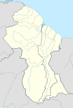
 Burma Location in Guyana | |
| Coordinates: 6°27′50″N 57°45′35″W | |
| Country | |
| Region | Mahaica-Berbice |
| Population (2012)[1] | |
| • Total | 137 |
| Time zone | UTC-4 |
| Climate | Af |
References
- "2012 Population by Village". Statistics Guyana. Retrieved 16 August 2020.
- "Burma Rice Research Station - Department of Public Information". 16 August 2020.
ignore https certificate failure to access
- "Gov't says hike in MMA rates necessary". Guyana Chronicle. Retrieved 16 August 2020.
External links
This article is issued from Wikipedia. The text is licensed under Creative Commons - Attribution - Sharealike. Additional terms may apply for the media files.