Uaxactun Airport
Uaxactun Airport (IATA: UAX) is an airstrip in the village of Uaxactun, Guatemala.
Uaxactun Airport | |||||||||||
|---|---|---|---|---|---|---|---|---|---|---|---|
| Summary | |||||||||||
| Serves | Uaxactun, Guatemala | ||||||||||
| Elevation AMSL | 573 ft / 175 m | ||||||||||
| Coordinates | 17°23′35″N 89°38′05″W | ||||||||||
| Map | |||||||||||
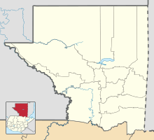 UAX Location in Petén Department 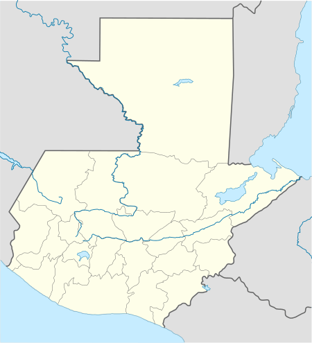 UAX Location in Guatemala | |||||||||||
| Runways | |||||||||||
| |||||||||||
The airstrip may be closed. Aerial imagery (Google Earth 3/27/2014) shows less than 300 metres (980 ft) of grass landing area remaining unobstructed by trees and structures.[3][4]
The Tikal VOR-DME (Ident: TIK) is located 31.8 nautical miles (58.9 km) south-southwest of Uaxactun.[5]
See also


- Transport in Guatemala
- List of airports in Guatemala
References
- OurAirports - Uaxactun
- Accident history for Uaxactun Airport at Aviation Safety Network
- "Uaxactun runway". HERE Maps. Here. Retrieved 13 August 2018.
- "Uaxactun airstrip". Google Maps. Google. Retrieved 13 August 2018.
- Tikal VOR
This article is issued from Wikipedia. The text is licensed under Creative Commons - Attribution - Sharealike. Additional terms may apply for the media files.