San José Airport (Guatemala)
San José Airport (IATA: GSJ, ICAO: MGSJ) (Aeropuerto de Puerto San José, Escuintla) serves the city of Puerto San José, the recreative town of Monterrico, the port of Puerto Quetzal and the eastern Guatemalan Pacific coast. It is operated and administrated by DGAC - Dirección General de Aeronáutica Civil de Guatemala. San José Airport is in the western part of the city of Puerto San José, near the Pacific coast.
San José Airport | |||||||||||
|---|---|---|---|---|---|---|---|---|---|---|---|
| Summary | |||||||||||
| Airport type | Military/Public | ||||||||||
| Operator | DGAC | ||||||||||
| Serves | Puerto San José, Guatemala | ||||||||||
| Elevation AMSL | 29 ft / 9 m | ||||||||||
| Coordinates | 13°56′10″N 90°50′09″W | ||||||||||
| Map | |||||||||||
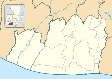
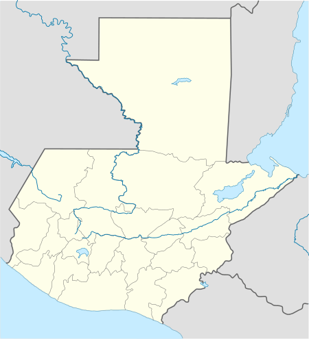
 MGSJ Location in Escuintla Department  MGSJ Location in Guatemala | |||||||||||
| Runways | |||||||||||
| |||||||||||
Facilities
The airport has been recently refurbished and reopened in September 2007, as part of a nationwide airport rehabilitation program. Improvements include:
- a newly built 2,500 m2 (27,000 sq ft) terminal building with car park[4]
- a newly built tower
- newly asphalted an amplified runway with illumination and signage
As at 5 December 2008 there is no new control tower nor is there runway or approach lighting.
The San Jose VOR-DME (Ident: SJO) is located on the field.[5][6]
Airlines
- Transportes Aéreos Guatemaltecos (charter flights).[7]
- Air Venture Tours (charter flights only)
gollark: Deathpenaltyless countries *do* exist.
gollark: And nonfree life and literally dying are very different things unless you fudge the definitions a ton.
gollark: If you try to escape they could probably (aim to) nonlethally recapture you.
gollark: You can do fear of imprisonment or something instead though.
gollark: It ultimately reduces to fear of imprisonment mostly. Or generalised loss of choice.
See also


- Transport in Guatemala
- List of airports in Guatemala
References
- Airport information for MGSJ at Great Circle Mapper.
- Airport information for MGSJ at World Aero Data. Data current as of October 2006.
- Google Maps - San José
- Terminal building
- SkyVector Aeronautical Charts
- SJO VOR
- Transportes Aéreos Guatemaltecos Archived 2007-10-17 at the Wayback Machine
External links
- Dirección General de Aeronáutica Civil
- OpenStreetMap - San José
- OurAirports - San José
- Accident history for Puerto San José Airport at Aviation Safety Network
This article is issued from Wikipedia. The text is licensed under Creative Commons - Attribution - Sharealike. Additional terms may apply for the media files.