Río Dulce Airport
Las Vegas Airport (IATA: LCF, ICAO: MGRD) is an airport 4 kilometres (2.5 mi) east of Río Dulce, a village in Izabal Department, Guatemala.
Las Vegas Airport Río Dulce Airport | |||||||||||
|---|---|---|---|---|---|---|---|---|---|---|---|
| Summary | |||||||||||
| Airport type | Private | ||||||||||
| Serves | Río Dulce, Guatemala | ||||||||||
| Elevation AMSL | 66 ft / 20 m | ||||||||||
| Coordinates | 15°40′05″N 88°57′40″W | ||||||||||
| Map | |||||||||||
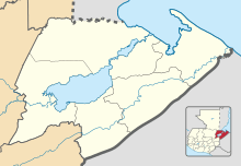 LCF Location in Izabal Department 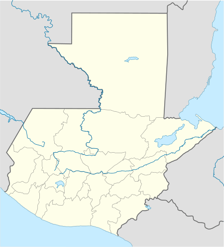 LCF Location in Guatemala | |||||||||||
| Runways | |||||||||||
| |||||||||||
The airport is on the east side of the Dulce River, which connects Lake Izabal and Lake El Golfete. No main roads connect the airport with the town, but it has good access from the river. West approach and departure are over the water.
The Puerto Barrios VOR-DME (Ident: IOS) is located 21.9 nautical miles (40.6 km) east of the airport.[3]
The village and lakes are a popular vacation and retirement location.[4][5]
See also

- Transport in Guatemala
- List of airports in Guatemala
References
- Airport information for Las Vegas Airport at Great Circle Mapper.
- Google Maps - Río Dulce
- "Puerto Barrios VOR". Our Airports. Retrieved 23 August 2018.
- "Rio Dulce". Trip Advisor. Retrieved 23 August 2018.
- "Rio Dulce tourism". YouTube. Retrieved 23 August 2018.
External links
- OpenStreetMap - Las Vegas Airport
- OurAirports - Las Vegas
- FallingRain - Las Vegas Airport
- Accident history for Rio Dulce-Las Vegas Airport at Aviation Safety Network
This article is issued from Wikipedia. The text is licensed under Creative Commons - Attribution - Sharealike. Additional terms may apply for the media files.