Quetzaltenango Airport
Los Altos Airport (Spanish: Aeropuerto Los Altos, IATA: AAZ, ICAO: MGQZ),[3] also known as Quetzaltenango Airport, serves the city of Quetzaltenango, also known as "Xelajú" or "Xela," and western Guatemala. It is operated and administrated by Dirección General de Aeronáutica Civil de Guatemala (DGAC).
Los Altos Airport Aeropuerto Los Altos Quetzaltenango Airport | |||||||||||
|---|---|---|---|---|---|---|---|---|---|---|---|
| Summary | |||||||||||
| Airport type | Public | ||||||||||
| Operator | DGAC | ||||||||||
| Serves | Quetzaltenango, Guatemala | ||||||||||
| Elevation AMSL | 7,779 ft / 2,371 m | ||||||||||
| Coordinates | 14°51′55″N 91°30′10″W | ||||||||||
| Map | |||||||||||
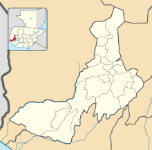
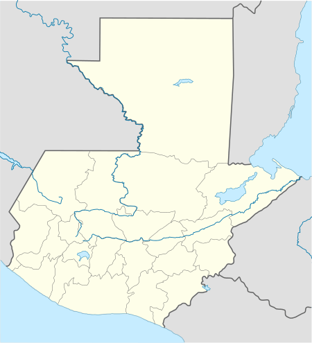
 MGQZ Location in Quetzaltenango Department  MGQZ Location in Guatemala | |||||||||||
| Runways | |||||||||||
| |||||||||||
| Statistics (2016) | |||||||||||
| |||||||||||
General
Los Altos Airport is in a high elevation basin in the Guatemalan highlands, in the northeastern part of the city of Quetzaltenango. There is a mountain ridge 3 kilometres (1.9 mi) north of the runway, and distant mountainous terrain in all other quadrants.
The Tapachula VOR-DME (Ident: TAP) is located 50.9 nautical miles (94.3 km) west of the airport. The Quetzaltenango non-directional beacon (Ident: XLA) is located on the field.[4][5]
The airport has undergone construction work as part of a nationwide airport rehabilitation program. Serving Guatemala's second largest city, the airport aims to gain international status, along with La Aurora International Airport and Mundo Maya International Airport. The region hopes to profit economically from this new airport. So far, the closest airport to Quetzaltenango with regular airline connections was 200 km (120 mi) away in Guatemala City. Until 2006, the airfield had only a grass runway. It had no significant terminal building and only a small hangar. Air traffic was limited due to lack of features for safe operation. In September 2006 construction work began,[6] which included:[7]
- extension, asphalting, signposting, and illuminating of the runway and taxiway
- construction of a small terminal building and apron for four aircraft
- construction of a parking area
An emergency operations center has been installed at the airport in order to respond to future disasters like hurricane Stan.[8] The new runway was inaugurated by President Óscar Berger on January 10, 2008.
Criticism
- It was discovered that when Óscar Berger inaugurated the runway in January 2008, construction work had not finished. The temporary runway markings were for the official opening ceremony and had to be removed for final coating.[9]
- The terminal building was revealed to be only a small house, not a terminal building of international standards as anticipated .
- The tower has not been built, hence safe operations were questionable.
Aviation in Quetzaltenango
- The first airport was built in 1945 at La Esperanza and was transferred to the present site in 1955. Aviateca had daily flights between Xela and Guatemala City, charging 25 Quetzal those days.
- In 1992 Miguel Angel Castro Conde father and son constructed a two-seater aircraft in Quetzaltenango, finishing it in 2003 and naming it "Quetzaltenango 1". It is said that it is the first and only ever built airplane in Central America,.[10][11]
Quetzaltenango 1
Quetzaltenango 1 is the name of the first aircraft built in Central America, Miguel Angel Castro Conde is responsible for the airplane with the name Quetzaltenango 1, a plane he built with the help of his son, becoming the first constructor of an aircraft in Guatemala.
On May 12, 2003 After the first flight that lasted 30 minutes, followed by further testing done only to a volunteer who offered to accompany him, now see it is regular with his son and friends who ask you to take them to feel Quetzaltenango the excitement of seeing a plane built in this city.
Airlines
| Airlines | Destinations |
|---|---|
| ARM Aviacion S.A. (ARMSA)[12] | Guatemala City (begins september 12)[13] |
| Transportes Aéreos Guatemaltecos | Guatemala City, Charter flights |
Statistics
In 2016, the airport handled 2,937 passengers.[14]
Accidents
On 1 November 1998 a Douglas DC-3 (N3FY) carrying 18 crew and passengers crashed near the airport into mountainous terrain. Bad weather during approach is the probable cause. There were 11 fatalities.[15]
On 13 October 1999 a private Bell 206 helicopter (TG-AMA) crashed near Quetzaltenango. Both occupants were killed.[16]
References
- Airport information for Quetzaltenango Airport at Great Circle Mapper.
- "Quetzaltenango Airport". Google Maps. Google. Retrieved 24 August 2018.
- "Quetzaltenango to inaugurate Airport. To be named Los Altos (Soy502)".
- "Quetzaltenango Airport and NDB". SkyVector. Retrieved 24 August 2018.
- "Tapachula VOR". Our Airports. Retrieved 24 August 2018.
- (in Spanish) PrensaLibre.com - Inicia construcción de aeropuerto de Quetzaltenango
- COE instala bodega en aeropuerto de Quetzaltenango :: CERIGUA Centro de reportes informativos sobre Guatemala :: Democratizando las comunicaciones
- PrensaLibre - Los Altos inauguration
- (in Spanish) Revista D - PrensaLibre.com
- Untitled Document
- "ARMSA website".
- "Flights to Xela announced (Spanish)".
- "Dos aerolíneas ofrecerán vuelos desde Guatemala hacia Puerto Barrios por 110 dólares" [Two airlines will offer flights from Guatemala City to Puerto Barrios for $110]. El Diario de Hoy (in Spanish). 23 January 2017. Archived from the original on 6 February 2017. Retrieved 5 February 2017.
- ASN Aircraft accident description Douglas C-47A-90-DL (DC-3C) N3FY - Quetzaltenango
- FTW00RA156
External links
- OpenStreetMap - Quetzaltenango Airport
- Dirección General de Aeronáutica Civil
- SkyVector - Quetzaltenango Airport
- "Sigloxxi.com newspaper article concerning the construction". Archived from the original on 2011-09-28. Retrieved 2007-10-18.
- Accident history for Quetzaltenango Airport at Aviation Safety Network