Tutilawa
Tutilawa is a town in Chatra district of Jharkhand, India.
Tutilawa | |
|---|---|
town | |
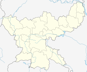
 Tutilawa Location in Jharkhand, India  Tutilawa Tutilawa (India) | |
| Coordinates: 24°2′0″N 85°2′0″E | |
| Country | |
| State | Jharkhand |
| District | Chatra |
| Government | |
| • Body | Nagar Palika |
| Elevation | 592 m (1,942 ft) |
| Languages | |
| • Official | Hindi, Santali |
| Time zone | UTC+5:30 (IST) |
| Vehicle registration | JH |
| Coastline | 0 kilometres (0 mi) |
| Website | chatra |
Geography
It is located at an elevation of 592 m above MSL.[1]
Location
National Highway 100 passes through Tutilawa. The nearest airport is Ranchi Airport.
Tutilawa Fair
Tutilawa Mela, started in 1935, is one of the famous cattle fairs of Jharkhand, held on Falgun Poornima.[2]
gollark: Wait, only 8.5 billion? That seems kind of worryingly low.
gollark: It highlights but I don't think actually pings, it's weird.
gollark: Also, you can do `\@everyone` (backslash @ everyone) to write \@everyone without pinging them!
gollark: @pong
gollark: ⚡ It's lowercase, see.
References
- http://www.fallingrain.com/world/IN/38/Tutilawa.html Map and weather of Tutilawa
- http://chatra.nic.in/culture.htm About Tutilawa Mela
This article is issued from Wikipedia. The text is licensed under Creative Commons - Attribution - Sharealike. Additional terms may apply for the media files.