Tualte
Tualte is a village in the Champhai district of Mizoram, India. It is located in the Khawzawl R.D. Block.[1]
Tualte | |
|---|---|
village | |
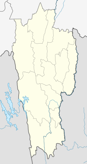 Tualte Location in Mizoram, India  Tualte Tualte (India) | |
| Coordinates: 23.4128402°N 93.2074712°E | |
| Country | India |
| State | Mizoram |
| District | Champhai |
| Block | Khawzawl |
| Elevation | 1,379 m (4,524 ft) |
| Population (2011) | |
| • Total | 1,177 |
| Time zone | UTC+5:30 (IST) |
| 2011 census code | 271329 |
Demographics
According to the 2011 census of India, Tualte has 207 households. The effective literacy rate (i.e. the literacy rate of population excluding children aged 6 and below) is 97.62%.[2]
| Total | Male | Female | |
|---|---|---|---|
| Population | 1177 | 594 | 583 |
| Children aged below 6 years | 169 | 82 | 87 |
| Scheduled caste | 0 | 0 | 0 |
| Scheduled tribe | 1165 | 585 | 580 |
| Literates | 984 | 502 | 482 |
| Workers (all) | 614 | 323 | 291 |
| Main workers (total) | 606 | 320 | 286 |
| Main workers: Cultivators | 426 | 238 | 188 |
| Main workers: Agricultural labourers | 114 | 42 | 72 |
| Main workers: Household industry workers | 1 | 1 | 0 |
| Main workers: Other | 65 | 39 | 26 |
| Marginal workers (total) | 8 | 3 | 5 |
| Marginal workers: Cultivators | 2 | 1 | 1 |
| Marginal workers: Agricultural labourers | 4 | 1 | 3 |
| Marginal workers: Household industry workers | 0 | 0 | 0 |
| Marginal workers: Others | 2 | 1 | 1 |
| Non-workers | 563 | 271 | 292 |
gollark: I don't know why it considers me an admin though, will have to look into that.
gollark: I had to configure autorestart.
gollark: !about
gollark: They run as separate processes.
gollark: !shutdown
References
- "Mizoram villages" (PDF). Land Records Information Systems Division, NIC. Archived from the original (PDF) on 6 August 2014. Retrieved 22 August 2015.
- "District Census Handbook - Champhai" (PDF). 2011 Census of India. Directorate of Census Operations, Mizoram. Retrieved 22 August 2015.
This article is issued from Wikipedia. The text is licensed under Creative Commons - Attribution - Sharealike. Additional terms may apply for the media files.