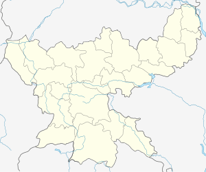
Topa
Topa is a census town in Hazaribag district in the Indian state of Jharkhand.
Topa | |
|---|---|
city | |
 Topa Location in Jharkhand, India  Topa Topa (India) | |
| Coordinates: 23.74419°N 85.4757°E | |
| Country | |
| State | Jharkhand |
| District | Hazaribag |
| Population (2001) | |
| • Total | 5,008 |
| Languages | |
| • Official | Hindi, Santali |
| Time zone | UTC+5:30 (IST) |
| Vehicle registration | JH |
Demographics
As of 2001 India census,[1] Topa had a population of 5008. Males constitute 54% of the population and females 46%. Topa has an average literacy rate of 62%, higher than the national average of 59.5%: male literacy is 72%, and female literacy is 51%. In Topa, 16% of the population is under 6 years of age.
gollark: ~~Talk of 3G SAltkins reminded me to breed my 2G. This is a chrono xenowyrm from alt arcana and black zyumorph. Please tell me if you take it or suffer an eternity of being complained at>https://dragcave.net/teleport/a335564e857e0ba589aa39fb49e44134~~
gollark: Yes, but *some people* need it to be explicitly told to them.
gollark: Look, if you don't want spooooky ghosts taking eggs, *just ask them to say if they take it!*
gollark: I mostly go for "ask people to say if they take it and occasionally check progeny pages".
gollark: ***mine***
References
- "Census of India 2001: Data from the 2001 Census, including cities, villages and towns (Provisional)". Census Commission of India. Archived from the original on 16 June 2004. Retrieved 1 November 2008.
This article is issued from Wikipedia. The text is licensed under Creative Commons - Attribution - Sharealike. Additional terms may apply for the media files.